Warsaw, Indiana Map and Directory
Regional Directory > States Menu > Indiana
 According to the United States Census Bureau, Warsaw is a City that is located in Kosciusko County, Indiana at 41.24 degrees North and 85.85 degrees West.
The city's time zone is America/Indiana/Indianapolis, and the city's primary telephone area code is 574.
The land area of Warsaw is about 12.13 square miles, whereas the water area of the city is about 1.34 square miles.
Kosciusko County's land area is about 531 square miles, so the city occupies about 2.3 percent of the county's total land area.
According to the United States Census Bureau, Warsaw is a City that is located in Kosciusko County, Indiana at 41.24 degrees North and 85.85 degrees West.
The city's time zone is America/Indiana/Indianapolis, and the city's primary telephone area code is 574.
The land area of Warsaw is about 12.13 square miles, whereas the water area of the city is about 1.34 square miles.
Kosciusko County's land area is about 531 square miles, so the city occupies about 2.3 percent of the county's total land area.
The Census Bureau estimates that Warsaw had about 15,150 residents in 2019, which is approximately 1,249 people per square mile of land area.
According to recent American Community Survey data, the median household income in Warsaw was about $55,982 per year.
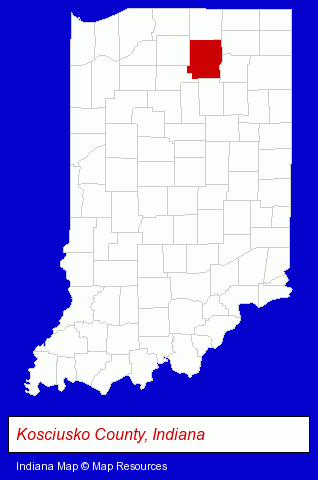
The Indiana counties map at upper right shows Kosciusko County, highlighted in red. Use the menu below to display interactive maps of Warsaw, either in a frame on this page or in full-screen mode.
Use the menu below to display categorized Warsaw directories.
| Warsaw Products and Services Directory | ||
|---|---|---|
| Auto Service | Building Materials | Clinics |
| Home Improvement | Metals | |
Selected Warsaw, Indiana Listings
These randomly selected Warsaw listings provide some insight into the city's cultural environment and economic climate.- Printing & Publishing
- Clothing & Accessories Retail
- Jewelers
- Diamonds Retail
- Gemstones Retail
- Metal Finishing
- Printing & Publishing
- Printing Services
- Commercial Printing
- Plastic & Plastic Products Wholesale & Manufacturers
- Vacuum & Pressure Forming Plastic Manufacturers
- Utilities
- Electric Companies
- Sporting Goods Dealers
- Sporting Goods Wholesale & Manufacturers
- Funeral Services
- Funeral Homes & Directors
- Cemeteries & Memorial Parks
- Cemeteries & Crematories
- Cremation Services
- Industrial Equipment & Supplies Dealers
- Industrial Equipment & Supplies Wholesale & Manufacturers
- Building & Home Construction
- Builders & Contractors
- Metals
- Welding Services
- Sheet Metal Wholesale & Manufacturers
Nearby Indiana Cities and Towns *
- Bremen (1) - Bremen, Indiana information and maps.
- Elkhart (15) - Elkhart, Indiana demographics and directory.
- Goshen (4) - Goshen, Indiana information and maps.
- Mishawaka (8) - Mishawaka, Indiana demographics and maps.
- Plymouth (2) - Plymouth, Indiana information and maps.
- Wakarusa (2) - Wakarusa, Indiana information and maps.
* Parenthesized numbers indicate economic activity levels.
Copyright © 2011-2026 RegionalDirectory.us. All rights reserved.