Coloma, Michigan Map and Directory
Regional Directory > States Menu > Michigan
 According to the United States Census Bureau, Coloma is a City that is located in Berrien County, Michigan at 42.19 degrees North and 86.31 degrees West.
The city's time zone is America/Detroit, and the city's primary telephone area code is 269.
The land area of Coloma is about 0.89 square miles, whereas the water area of the city is about 0.00 square miles.
Berrien County's land area is about 568 square miles, so the city occupies about 0.2 percent of the county's total land area.
According to the United States Census Bureau, Coloma is a City that is located in Berrien County, Michigan at 42.19 degrees North and 86.31 degrees West.
The city's time zone is America/Detroit, and the city's primary telephone area code is 269.
The land area of Coloma is about 0.89 square miles, whereas the water area of the city is about 0.00 square miles.
Berrien County's land area is about 568 square miles, so the city occupies about 0.2 percent of the county's total land area.
The Census Bureau estimates that Coloma had about 1,463 residents in 2014, which is approximately 1,644 people per square mile of land area.
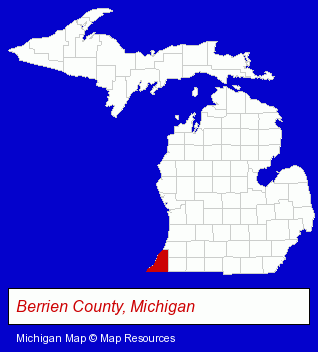
The Michigan counties map at upper right shows Berrien County, highlighted in red. Use the menu below to display interactive maps of Coloma, either in a frame on this page or in full-screen mode.
Use the menu below to display categorized Coloma directories.
| Coloma Directory Page: | Metals |
|---|
Selected Coloma, Michigan Listings
These Coloma listings provide some insight into the city's cultural environment and economic climate. Chocolate Garden- Candy & Confectionery Retail
- Baking Products
- Chocolate & Cocoa Retail
- Plastic & Plastic Products Wholesale & Manufacturers
- Metal Finishing
- Metal Polishing, Buffing & Plating
- Metal Finishing
Nearby Michigan Cities and Towns *
- Benton Harbor (2) - Benton Harbor, Michigan information and maps.
- Berrien Springs (1) - Berrien Springs, Michigan information and maps.
- Dowagiac (1) - Dowagiac, Michigan information and maps.
- Niles (2) - Niles, Michigan information and maps.
- Saugatuck (2) - Saugatuck, Michigan information and maps.
- Stevensville (1) - Stevensville, Michigan information and maps.
* Parenthesized numbers indicate economic activity levels.
Copyright © 2011-2026 RegionalDirectory.us. All rights reserved.