Mount Clemens, Michigan Map and Directory
Regional Directory > States Menu > Michigan
 According to the United States Census Bureau, Mount Clemens is a City that is located in Macomb County, Michigan at 42.60 degrees North and 82.88 degrees West.
The city's time zone is America/Detroit, and the city's primary telephone area code is 586.
The land area of Mount Clemens is about 4.07 square miles, whereas the water area of the city is about 0.12 square miles.
Macomb County's land area is about 479 square miles, so the city occupies about 0.8 percent of the county's total land area.
According to the United States Census Bureau, Mount Clemens is a City that is located in Macomb County, Michigan at 42.60 degrees North and 82.88 degrees West.
The city's time zone is America/Detroit, and the city's primary telephone area code is 586.
The land area of Mount Clemens is about 4.07 square miles, whereas the water area of the city is about 0.12 square miles.
Macomb County's land area is about 479 square miles, so the city occupies about 0.8 percent of the county's total land area.
The Census Bureau estimates that Mount Clemens had about 16,163 residents in 2019, which is approximately 3,971 people per square mile of land area.
According to recent American Community Survey data, the median household income in Mount Clemens was about $43,018 per year.
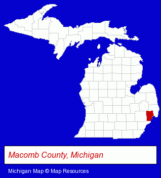
The Michigan counties map at upper right shows Macomb County, highlighted in red. Use the menu below to display interactive maps of Mount Clemens, either in a frame on this page or in full-screen mode.
Use the menu below to display categorized Mount Clemens directories.
| Mount Clemens Products and Services Directory | ||
|---|---|---|
| Attorneys | Auto Service | Building Materials |
| Home Improvement | Metals | |
Selected Mount Clemens, Michigan Listings
These randomly selected Mount Clemens listings provide some insight into the city's cultural environment and economic climate.- Auto Parts Retail
- Auto Parts Wholesale & Manufacturers
- Funeral Services
- Funeral Homes & Directors
- Cemeteries & Memorial Parks
- Cemeteries & Crematories
- Cremation Services
- Building & Home Construction
- Builders & Contractors
- Concrete Contractors
- Concrete Contractors Commercial & Industrial
- Boat Dealers
- Marine Professionals & Services
- Docks
- Boat Service & Repair
- Corporate Business Attorneys
- Estate Planning & Administration Attorneys
- Beauty Salons
- Hair Care & Treatment
- Beauty & Day Spas
- Manicures & Pedicures
- Legal Services
- Arbitration & Mediation Services
- Arbitration & Mediation Services Attorneys
- Arbitrators
- Pest Control Services
- Window Coverings Retail
- Draperies & Curtains Retail
- Drapery & Curtain Fabrics Retail
- Blinds Retail & Custom
- Schools
- Elementary & Secondary Education
- Elementary Schools
- Public Schools
Nearby Michigan Cities and Towns *
- Macomb (1) - Macomb, Michigan information and maps.
- New Baltimore (1) - New Baltimore, Michigan information and maps.
- Roseville (4) - Roseville, Michigan information and maps.
- Saint Clair Shores (5) - Saint Clair Shores, Michigan demographics and maps.
- Sterling Heights (10) - Sterling Heights, Michigan demographics and directory.
- Utica (5) - Utica, Michigan demographics and maps.
* Parenthesized numbers indicate economic activity levels.
Copyright © 2011-2026 RegionalDirectory.us. All rights reserved.