Pontiac, Michigan Map and Directory
Regional Directory > States Menu > Michigan
 According to the United States Census Bureau, Pontiac is a City that is located in Oakland County, Michigan at 42.64 degrees North and 83.29 degrees West.
The city's time zone is America/Detroit, and the city's primary telephone area code is 248.
The land area of Pontiac is about 19.97 square miles, whereas the water area of the city is about 0.31 square miles.
Oakland County's land area is about 868 square miles, so the city occupies about 2.3 percent of the county's total land area.
According to the United States Census Bureau, Pontiac is a City that is located in Oakland County, Michigan at 42.64 degrees North and 83.29 degrees West.
The city's time zone is America/Detroit, and the city's primary telephone area code is 248.
The land area of Pontiac is about 19.97 square miles, whereas the water area of the city is about 0.31 square miles.
Oakland County's land area is about 868 square miles, so the city occupies about 2.3 percent of the county's total land area.
The Census Bureau estimates that Pontiac had about 59,438 residents in 2019, which is approximately 2,976 people per square mile of land area.
According to recent American Community Survey data, the median household income in Pontiac was about $33,568 per year.
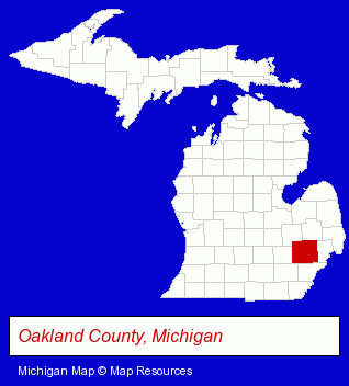
The Michigan counties map at upper right shows Oakland County, highlighted in red. Use the menu below to display interactive maps of Pontiac, either in a frame on this page or in full-screen mode.
Use the menu below to display categorized Pontiac directories.
| Pontiac Products and Services Directory | ||
|---|---|---|
| Auto Service | Building Materials | Home Improvement |
Selected Pontiac, Michigan Listings
These representative Pontiac listings provide some insight into the city's cultural environment and economic climate.- Door & Window Dealers
- Windows & Parts Dealers
- Construction Machinery & Equipment Wholesale & Manufacturers
- Restaurants
- Steak Restaurants
- Take Out
- Delicatessens
- Schools
- Elementary & Secondary Education
- Elementary Schools
- Private Schools
- Auto Parts Retail
- Industrial Equipment & Supplies Dealers
- Auto Parts Retail
- Auto Parts Wholesale & Manufacturers
- Moving & Storage
- Movers
- Household Goods Moving & Storage
- Piano & Organ Movers
- Specialty Movers
- Industrial Equipment & Supplies Dealers
- Resale, Second Hand & Used Merchandise Stores
- Machine Tool Dealers
- Used & Rebuilt Industrial Equipment Dealers
- Libraries
- Recording Studios
- Music & Recording Industry
- Audio Production & Recording
- Sound & Video Recording Services Commercial & Industrial
Nearby Michigan Cities and Towns *
- Birmingham (10) - Birmingham, Michigan demographics and directory.
- Bloomfield Hills (6) - Bloomfield Hills, Michigan demographics and maps.
- Rochester (8) - Rochester, Michigan demographics and maps.
- Southfield (18) - Southfield, Michigan solutions directory and maps.
- Troy (23) - Troy, Michigan solutions directory and maps.
- Waterford (10) - Waterford, Michigan demographics and directory.
- West Bloomfield (3) - West Bloomfield, Michigan information and maps.
* Parenthesized numbers indicate economic activity levels.
Copyright © 2011-2026 RegionalDirectory.us. All rights reserved.