Flowood, Mississippi Map and Directory
Regional Directory > States Menu > Mississippi
 According to the United States Census Bureau, Flowood is a City that is located in Rankin County, Mississippi at 32.31 degrees North and 90.14 degrees West.
The city's time zone is America/Chicago, and the city's primary telephone area code is 769.
The land area of Flowood is about 28.68 square miles, whereas the water area of the city is about 0.52 square miles.
Rankin County's land area is about 775 square miles, so the city occupies about 3.7 percent of the county's total land area.
According to the United States Census Bureau, Flowood is a City that is located in Rankin County, Mississippi at 32.31 degrees North and 90.14 degrees West.
The city's time zone is America/Chicago, and the city's primary telephone area code is 769.
The land area of Flowood is about 28.68 square miles, whereas the water area of the city is about 0.52 square miles.
Rankin County's land area is about 775 square miles, so the city occupies about 3.7 percent of the county's total land area.
The Census Bureau estimates that Flowood had about 9,380 residents in 2019, which is approximately 327 people per square mile of land area.
According to recent American Community Survey data, the median household income in Flowood was about $65,191 per year.
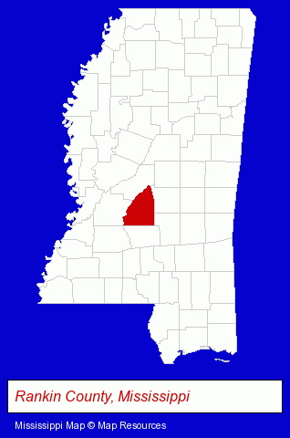
The Mississippi counties map at upper right shows Rankin County, highlighted in red. Use the menu below to display interactive maps of Flowood, either in a frame on this page or in full-screen mode.
Use the menu below to display categorized Flowood directories.
| Flowood Products and Services Directory | |
|---|---|
| Building Materials | Physicians |
Selected Flowood, Mississippi Listings
These representative Flowood listings provide some insight into the city's cultural environment and economic climate.- General Practice
- Gynecology & Obstetrics Physicians & Surgeons
- Clinics
- Financial Services
- Insurance
- Medical Equipment & Supplies Retail
- Hospital Equipment & Supplies Retail
- Homes & Residential Real Estate
- General Real Estate
- Vocational Education
- Business Education
- Ophthalmology Physicians & Surgeons
- General Practice
- Business Consultants & Advisors
- Management Consultants
- Business Management Services
- Health Care Consultants
- Dentists
- Pediatrics Dentists
- Drug Stores & Pharmacies
- Pharmacists
Nearby Mississippi Cities and Towns *
- Brandon (1) - Brandon, Mississippi information and maps.
- Clinton (1) - Clinton, Mississippi information and maps.
- Hattiesburg (7) - Hattiesburg, Mississippi demographics and maps.
- Jackson (19) - Jackson, Mississippi solutions directory and maps.
- Ridgeland (4) - Ridgeland, Mississippi information and maps.
- Vicksburg (1) - Vicksburg, Mississippi information and maps.
* Parenthesized numbers indicate economic activity levels.
Copyright © 2011-2026 RegionalDirectory.us. All rights reserved.