Moorestown, New Jersey Map and Directory
Regional Directory > States Menu > New Jersey
 According to the United States Census Bureau, Moorestown is a Township that is located in Burlington County, New Jersey at 39.98 degrees North and 74.95 degrees West.
The township's time zone is America/New York, and the township's primary telephone area code is 856.
The land area of Moorestown is about 14.69 square miles, whereas the water area of the township is about 0.23 square miles.
Burlington County's land area is about 799 square miles, so the township occupies about 1.8 percent of the county's total land area.
According to the United States Census Bureau, Moorestown is a Township that is located in Burlington County, New Jersey at 39.98 degrees North and 74.95 degrees West.
The township's time zone is America/New York, and the township's primary telephone area code is 856.
The land area of Moorestown is about 14.69 square miles, whereas the water area of the township is about 0.23 square miles.
Burlington County's land area is about 799 square miles, so the township occupies about 1.8 percent of the county's total land area.
The Census Bureau estimates that Moorestown had about 20,449 residents in 2019, which is approximately 1,392 people per square mile of land area.
According to recent American Community Survey data, the median household income in Moorestown was about $148,060 per year.
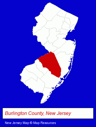
The New Jersey counties map at upper right shows Burlington County, highlighted in red. Use the menu below to display interactive maps of Moorestown, either in a frame on this page or in full-screen mode.
Use the menu below to display categorized Moorestown directories.
| Moorestown Products and Services Directory | ||
|---|---|---|
| Advertising Agencies | Business Services | Dentists |
| Financial Services | Home Improvement | |
Selected Moorestown, New Jersey Listings
These randomly selected Moorestown listings provide some insight into the township's cultural environment and economic climate.- Printing Services
- Business Consultants & Advisors
- Management Consultants
- Business Management Services
- Business Brokers
- Medical Equipment & Supplies Retail
- Hospital Equipment & Supplies Retail
- Medical Equipment & Supplies Wholesale & Manufacturers
- Computer Software
- Computer Consultants
- Computer Systems Consultants & Designers
- Business Consultants & Advisors
- Management Consultants
- Business Management Services
- Estate Planning & Administration Attorneys
- Real Estate Attorneys
- Other Schools & Instruction
- Performing Arts Schools
- Music Instruction
- Music
- Instrumental Music Instruction
- Insurance
- Insurance Consultants & Advisors
- Electric Equipment & Supplies Dealers
- Electronic Equipment & Supplies Wholesale & Manufacturers
- Financial Planning Consultants & Services
- Personal Financial Services
Nearby New Jersey Cities and Towns *
- Berlin (2) - Berlin, New Jersey information and maps.
- Burlington (3) - Burlington, New Jersey information and maps.
- Cherry Hill (12) - Cherry Hill, New Jersey demographics and directory.
- Marlton (2) - Marlton, New Jersey information and maps.
- Mount Laurel (2) - Mount Laurel, New Jersey information and maps.
- Pennsauken (3) - Pennsauken, New Jersey information and maps.
* Parenthesized numbers indicate economic activity levels.
Copyright © 2011-2026 RegionalDirectory.us. All rights reserved.