Wadsworth, Ohio Map and Directory
Regional Directory > States Menu > Ohio
 According to the United States Census Bureau, Wadsworth is a City that is located in Medina County, Ohio at 41.03 degrees North and 81.73 degrees West.
The city's time zone is America/New York, and the city's primary telephone area code is 330.
The land area of Wadsworth is about 10.62 square miles, whereas the water area of the city is about 0.00 square miles.
Medina County's land area is about 421 square miles, so the city occupies about 2.5 percent of the county's total land area.
According to the United States Census Bureau, Wadsworth is a City that is located in Medina County, Ohio at 41.03 degrees North and 81.73 degrees West.
The city's time zone is America/New York, and the city's primary telephone area code is 330.
The land area of Wadsworth is about 10.62 square miles, whereas the water area of the city is about 0.00 square miles.
Medina County's land area is about 421 square miles, so the city occupies about 2.5 percent of the county's total land area.
The Census Bureau estimates that Wadsworth had about 24,046 residents in 2019, which is approximately 2,264 people per square mile of land area.
According to recent American Community Survey data, the median household income in Wadsworth was about $71,478 per year.
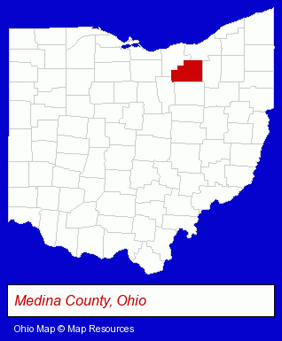
The Ohio counties map at upper right shows Medina County, highlighted in red. Use the menu below to display interactive maps of Wadsworth, either in a frame on this page or in full-screen mode.
Use the menu below to display categorized Wadsworth directories.
| Wadsworth Products and Services Directory | |
|---|---|
| Building Materials | Home Improvement |
Selected Wadsworth, Ohio Listings
These representative Wadsworth listings provide some insight into the city's cultural environment and economic climate.- Picture Frames Retail
- Pictures & Prints Retail
- Picture Framing & Matting
- Home Improvement Stores
- Hardware Dealers
- Industrial Equipment & Supplies Dealers
- Industrial Equipment & Supplies Wholesale & Manufacturers
- Industrial Equipment Parts & Accessories Wholesale & Manufacturers
- Charitable & Nonprofit Organizations
- Importers
- Exporters
- Chemicals Wholesale & Manufacturers
- Chemicals Wholesale & Manufacturers
- Dentists
- Engineers
- Geological Engineers
- Building & Home Construction
- Builders & Contractors
- Roofing Contractors
- Roofing
- Financial Services
- Financial Planning Consultants & Services
- Coffee & Tea Shops
- Cleaning Services
- Clothing & Accessories Cleaning & Repair
- Dry Cleaners
Nearby Ohio Cities and Towns *
- Akron (38) - Akron, Ohio products & services directory.
- Brunswick (6) - Brunswick, Ohio demographics and maps.
- Cuyahoga Falls (4) - Cuyahoga Falls, Ohio information and maps.
- Medina (9) - Medina, Ohio demographics and directory.
* Parenthesized numbers indicate economic activity levels.
Copyright © 2011-2026 RegionalDirectory.us. All rights reserved.