Pottstown, Pennsylvania Map and Directory
Regional Directory > States Menu > Pennsylvania
 According to the United States Census Bureau, Pottstown is a Borough that is located in Montgomery County, Pennsylvania at 40.25 degrees North and 75.65 degrees West.
The borough's time zone is America/New York, and the borough's primary telephone area code is 610.
The land area of Pottstown is about 4.88 square miles, whereas the water area of the borough is about 0.09 square miles.
Montgomery County's land area is about 483 square miles, so the borough occupies about 1.0 percent of the county's total land area.
According to the United States Census Bureau, Pottstown is a Borough that is located in Montgomery County, Pennsylvania at 40.25 degrees North and 75.65 degrees West.
The borough's time zone is America/New York, and the borough's primary telephone area code is 610.
The land area of Pottstown is about 4.88 square miles, whereas the water area of the borough is about 0.09 square miles.
Montgomery County's land area is about 483 square miles, so the borough occupies about 1.0 percent of the county's total land area.
The Census Bureau estimates that Pottstown had about 22,600 residents in 2019, which is approximately 4,631 people per square mile of land area.
According to recent American Community Survey data, the median household income in Pottstown was about $50,331 per year.
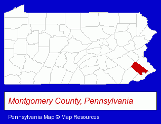
The Pennsylvania counties map at upper right shows Montgomery County, highlighted in red. Use the menu below to display interactive maps of Pottstown, either in a frame on this page or in full-screen mode.
Use the menu below to display categorized Pottstown directories.
| Pottstown Products and Services Directory | ||
|---|---|---|
| Auto Service | Building Materials | Business Services |
| Clinics | Electric Contractors | Home Improvement |
| Metals | ||
Selected Pottstown, Pennsylvania Listings
These randomly selected Pottstown listings provide some insight into the borough's cultural environment and economic climate.- Dentists
- Commercial & Graphic Artists
- Discount Stores
- Concrete & Concrete Products Dealers
- Credit Unions
- Industrial Equipment & Supplies Dealers
- Industrial Equipment & Supplies Wholesale & Manufacturers
- Industrial Equipment Parts & Accessories Wholesale & Manufacturers
- Veterinarians
- Animal Hospitals
- Animal Health
- Cultural Attractions, Events & Facilities
- Libraries
- General Real Estate
- Property Management
- Real Estate Agencies & Brokerage
- Real Estate Commercial & Industrial
- Real Estate Appraisers
- Metal Fabricators
- Sheet Metal Equipment & Supplies Wholesale & Manufacturers
- Industrial Equipment & Supplies Wholesale & Manufacturers
- Machine Shops
Nearby Pennsylvania Cities and Towns *
- Collegeville (3) - Collegeville, Pennsylvania information and maps.
- Downingtown (3) - Downingtown, Pennsylvania information and maps.
- Exton (10) - Exton, Pennsylvania demographics and directory.
- Malvern (7) - Malvern, Pennsylvania demographics and maps.
- Paoli (3) - Paoli, Pennsylvania information and maps.
- Phoenixville (4) - Phoenixville, Pennsylvania information and maps.
- Reading (20) - Reading, Pennsylvania solutions directory and maps.
* Parenthesized numbers indicate economic activity levels.
Copyright © 2011-2026 RegionalDirectory.us. All rights reserved.