Columbus, Texas Map and Directory
Regional Directory > States Menu > Texas
 According to the United States Census Bureau, Columbus is a City that is located in Colorado County, Texas at 29.71 degrees North and 96.54 degrees West.
The city's time zone is America/Chicago, and the city's primary telephone area code is 979.
The land area of Columbus is about 2.87 square miles, whereas the water area of the city is about 0.00 square miles.
Colorado County's land area is about 960 square miles, so the city occupies about 0.3 percent of the county's total land area.
According to the United States Census Bureau, Columbus is a City that is located in Colorado County, Texas at 29.71 degrees North and 96.54 degrees West.
The city's time zone is America/Chicago, and the city's primary telephone area code is 979.
The land area of Columbus is about 2.87 square miles, whereas the water area of the city is about 0.00 square miles.
Colorado County's land area is about 960 square miles, so the city occupies about 0.3 percent of the county's total land area.
The Census Bureau estimates that Columbus had about 3,655 residents in 2014, which is approximately 1,274 people per square mile of land area.
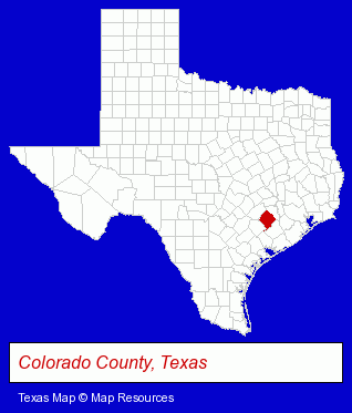
The Texas counties map at upper right shows Colorado County, highlighted in red. Use the menu below to display interactive maps of Columbus, either in a frame on this page or in full-screen mode.
Use the menu below to display categorized Columbus directories.
| Columbus Products and Services Directory | |
|---|---|
| Auto Service | Banks |
Selected Columbus, Texas Listings
These representative Columbus listings provide some insight into the city's cultural environment and economic climate.- Auto Oil & Lube
- Petroleum Products & Equipment
- Fuel Oils
- Petroleum Oils Retail
- Chambers of Commerce
- Real Estate Loans
- Building Remodeling & Repair Contractors
- Roofing Contractors
- Restaurants
- Mexican Restaurants
- Libraries
- Utilities
- Electric Companies
- Auto Glass Retail
- Window Glass Coating & Tinting
- Auto Glass Replacement & Repair
Nearby Texas Cities and Towns *
- Brenham (2) - Brenham, Texas information and maps.
- Katy (26) - Katy, Texas solutions directory and maps.
- Richmond (6) - Richmond, Texas demographics and maps.
- Rosenberg (3) - Rosenberg, Texas information and maps.
- Sugar Land (22) - Sugar Land, Texas solutions directory and maps.
- Tomball (9) - Tomball, Texas demographics and directory.
- Waller (1) - Waller, Texas information and maps.
* Parenthesized numbers indicate economic activity levels.
Copyright © 2011-2026 RegionalDirectory.us. All rights reserved.