Castro Valley, California Map and Directory
Regional Directory > States Menu > California
 According to the United States Census Bureau, Castro Valley is a Census-designated Place that is located in Alameda County, California at 37.69 degrees North and 122.09 degrees West.
The place's time zone is America/Los Angeles, and the place's primary telephone area code is 510.
The land area of Castro Valley is about 16.74 square miles, whereas the water area of the place is about 0.32 square miles.
Alameda County's land area is about 739 square miles, so the place occupies about 2.3 percent of the county's total land area.
According to the United States Census Bureau, Castro Valley is a Census-designated Place that is located in Alameda County, California at 37.69 degrees North and 122.09 degrees West.
The place's time zone is America/Los Angeles, and the place's primary telephone area code is 510.
The land area of Castro Valley is about 16.74 square miles, whereas the water area of the place is about 0.32 square miles.
Alameda County's land area is about 739 square miles, so the place occupies about 2.3 percent of the county's total land area.
The Census Bureau estimates that Castro Valley had about 63,013 residents in 2019, which is approximately 3,764 people per square mile of land area.
According to recent American Community Survey data, the median household income in Castro Valley was about $108,488 per year.
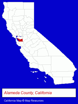
The California counties map at upper right shows Alameda County, highlighted in red. Use the menu below to display interactive maps of Castro Valley, either in a frame on this page or in full-screen mode.
Use the menu below to display categorized Castro Valley directories.
| Castro Valley Directory Page: | Restaurants |
|---|
Selected Castro Valley, California Listings
These Castro Valley listings provide some insight into the place's cultural environment and economic climate.- Building & Home Construction
- Building Contractors
- Construction Companies
- Animal Hospitals
- Animal Health
- Pet Care Services
- Painting Contractors
- Structural Engineers
- Attorneys
- Corporate Business Attorneys
- Estate Planning & Administration Attorneys
- Real Estate Attorneys
- Trial Attorneys
- Veterinarians
- Animal Hospitals
- Animal Health
- Beverages Retail
Nearby California Cities and Towns *
- Alameda (6) - Alameda, California demographics and maps.
- Danville (5) - Danville, California demographics and maps.
- Dublin (6) - Dublin, California demographics and maps.
- Fremont (29) - Fremont, California solutions directory and maps.
- Hayward (17) - Hayward, California solutions directory and maps.
- San Leandro (12) - San Leandro, California demographics and directory.
- San Ramon (13) - San Ramon, California demographics and directory.
* Parenthesized numbers indicate economic activity levels.
Copyright © 2011-2026 RegionalDirectory.us. All rights reserved.