Kings Beach, California Map and Directory
Regional Directory > States Menu > California
 According to the United States Census Bureau, Kings Beach is a Census-designated Place that is located in Placer County, California at 39.24 degrees North and 120.03 degrees West.
The place's time zone is America/Los Angeles, and the place's primary telephone area code is 530.
The land area of Kings Beach is about 3.44 square miles, whereas the water area of the place is about 0.00 square miles.
Placer County's land area is about 1,407 square miles, so the place occupies about 0.2 percent of the county's total land area.
According to the United States Census Bureau, Kings Beach is a Census-designated Place that is located in Placer County, California at 39.24 degrees North and 120.03 degrees West.
The place's time zone is America/Los Angeles, and the place's primary telephone area code is 530.
The land area of Kings Beach is about 3.44 square miles, whereas the water area of the place is about 0.00 square miles.
Placer County's land area is about 1,407 square miles, so the place occupies about 0.2 percent of the county's total land area.
The Census Bureau estimates that Kings Beach had about 3,384 residents in 2014, which is approximately 984 people per square mile of land area.
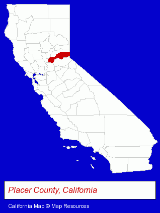
The California counties map at upper right shows Placer County, highlighted in red. Use the menu below to display interactive maps of Kings Beach, either in a frame on this page or in full-screen mode.
Use the menu below to display categorized Kings Beach directories.
| Kings Beach Directory Page: | Restaurants |
|---|
Selected Kings Beach, California Listings
These Kings Beach listings provide some insight into the place's cultural environment and economic climate. Caliente- Steak Restaurants
- American Restaurants
- Take Out
- Office Supplies Retail
- Gift Shops
- Stationery Retail
- Collectibles Dealers
- Souvenir & Novelty Shops
- Plumbing Contractors
- Plumbing & Heating Contractors
Nearby California Cities and Towns *
- Auburn (12) - Auburn, California demographics and directory.
- Grass Valley (7) - Grass Valley, California demographics and maps.
- South Lake Tahoe (8) - South Lake Tahoe, California demographics and maps.
- Truckee (9) - Truckee, California demographics and directory.
Large and Mid-size Cities in Nearby States
- Carson City, Nevada (8) - Carson City, NV demographics and maps.
* Parenthesized numbers indicate economic activity levels.
Copyright © 2011-2026 RegionalDirectory.us. All rights reserved.