Auburn, California Map and Directory
Regional Directory > States Menu > California
 According to the United States Census Bureau, Auburn is a City that is located in Placer County, California at 38.90 degrees North and 121.08 degrees West.
The city's time zone is America/Los Angeles, and the city's primary telephone area code is 530.
The land area of Auburn is about 7.15 square miles, whereas the water area of the city is about 0.03 square miles.
Placer County's land area is about 1,407 square miles, so the city occupies about 0.5 percent of the county's total land area.
According to the United States Census Bureau, Auburn is a City that is located in Placer County, California at 38.90 degrees North and 121.08 degrees West.
The city's time zone is America/Los Angeles, and the city's primary telephone area code is 530.
The land area of Auburn is about 7.15 square miles, whereas the water area of the city is about 0.03 square miles.
Placer County's land area is about 1,407 square miles, so the city occupies about 0.5 percent of the county's total land area.
The Census Bureau estimates that Auburn had about 14,195 residents in 2019, which is approximately 1,985 people per square mile of land area.
According to recent American Community Survey data, the median household income in Auburn was about $66,314 per year.
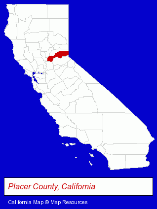
The California counties map at upper right shows Placer County, highlighted in red. Use the menu below to display interactive maps of Auburn, either in a frame on this page or in full-screen mode.
Use the menu below to display categorized Auburn directories.
| Auburn Products and Services Directory | ||
|---|---|---|
| Accountants | Architects | Attorneys |
| Auto Service | Chiropractors | Home Improvement |
| Metals | Moving and Storage | Physicians |
| Photographers | Restaurants | Visual Arts |
Selected Auburn, California Listings
These randomly selected Auburn listings provide some insight into the city's cultural environment and economic climate.- Rehabilitation Services
- Physical Therapists
- Physical Therapy
- Sports Medicine Physicians & Surgeons
- Hair Removal
- Alternative Medicine
- Beauty Salons
- Beauty & Day Spas
- Skin Care Products
- Facial Skin Care & Treatment
- Loan & Financing Services
- Financial Counselors
- Electric Contractors Residential
- Business Education
- Veterinarians
- Animal Hospitals
- Pet Grooming
- Construction Companies
- Construction Consulting & Management Services
- Medical Equipment & Supplies Retail
- Hospital Equipment & Supplies Retail
- Building Contractors
- Building Remodeling & Repair Contractors
- Fire & Water Damage Cleaning & Restoration
- Industrial Equipment Rebuilding, Service & Repair
- Machine Shops
- CNC Machining, Turning & Milling Shops
- Auto Machine Shop Services
- Auto Engine Rebuilding
- Educational Consultants
- Museums
- Embroidery & Needlework
- Embroidery Service
- Computer Software
- Software & CD ROM Sales & Services
- Outdoor Sports & Recreation
- Bicycle Dealers
- Bicycle Repair & Maintenance
- Bicycle Rental
Nearby California Cities and Towns *
- Citrus Heights (5) - Citrus Heights, California demographics and maps.
- El Dorado Hills (2) - El Dorado Hills, California information and maps.
- Folsom (11) - Folsom, California demographics and directory.
- Loomis (3) - Loomis, California information and maps.
- Orangevale (2) - Orangevale, California information and maps.
- Rocklin (11) - Rocklin, California demographics and directory.
- Roseville (30) - Roseville, California solutions directory and maps.
* Parenthesized numbers indicate economic activity levels.
Copyright © 2011-2026 RegionalDirectory.us. All rights reserved.