Gunnison, Colorado Map and Directory
Regional Directory > States Menu > Colorado
 According to the United States Census Bureau, Gunnison is a City that is located in Gunnison County, Colorado at 38.55 degrees North and 106.93 degrees West.
The city's time zone is America/Denver, and the city's primary telephone area code is 970.
The land area of Gunnison is about 4.16 square miles, whereas the water area of the city is about 0.00 square miles.
Gunnison County's land area is about 3,239 square miles, so the city occupies about 0.1 percent of the county's total land area.
According to the United States Census Bureau, Gunnison is a City that is located in Gunnison County, Colorado at 38.55 degrees North and 106.93 degrees West.
The city's time zone is America/Denver, and the city's primary telephone area code is 970.
The land area of Gunnison is about 4.16 square miles, whereas the water area of the city is about 0.00 square miles.
Gunnison County's land area is about 3,239 square miles, so the city occupies about 0.1 percent of the county's total land area.
The Census Bureau estimates that Gunnison had about 6,640 residents in 2019, which is approximately 1,596 people per square mile of land area.
According to recent American Community Survey data, the median household income in Gunnison was about $40,893 per year.
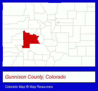
The Colorado counties map at upper right shows Gunnison County, highlighted in red. Use the menu below to display interactive maps of Gunnison, either in a frame on this page or in full-screen mode.
Use the menu below to display categorized Gunnison directories.
| Gunnison Directory Page: | Printing and Publishing |
|---|
Selected Gunnison, Colorado Listings
These Gunnison listings provide some insight into the city's cultural environment and economic climate. Auto Corral- Truck Dealers
- Used Cars
- Used Trucks
- Hunting
- Fishing
- Hunting Guides
- Lodging
- Hotels
- Motels
- Resorts & Vacation Cottages
- Hotel & Motel Reservations
- Sign Dealers
- Signs Wholesale & Manufacturers
- Commercial Signs
- Utilities
- Water & Sewage Companies
- Water Utility Companies
Nearby Colorado Cities and Towns *
- Aspen (9) - Aspen, Colorado demographics and directory.
- Basalt (1) - Basalt, Colorado information and maps.
- Crested Butte (1) - Crested Butte, Colorado information and maps.
- Montrose (6) - Montrose, Colorado demographics and maps.
- Snowmass Village (1) - Snowmass Village, Colorado information and maps.
* Parenthesized numbers indicate economic activity levels.
Copyright © 2011-2026 RegionalDirectory.us. All rights reserved.