Cartersville, Georgia Map and Directory
Regional Directory > States Menu > Georgia
 According to the United States Census Bureau, Cartersville is a City that is located in Bartow County, Georgia at 34.17 degrees North and 84.80 degrees West.
The city's time zone is America/New York, and the city's primary telephone area code is 770.
The land area of Cartersville is about 29.17 square miles, whereas the water area of the city is about 0.17 square miles.
Bartow County's land area is about 460 square miles, so the city occupies about 6.3 percent of the county's total land area.
According to the United States Census Bureau, Cartersville is a City that is located in Bartow County, Georgia at 34.17 degrees North and 84.80 degrees West.
The city's time zone is America/New York, and the city's primary telephone area code is 770.
The land area of Cartersville is about 29.17 square miles, whereas the water area of the city is about 0.17 square miles.
Bartow County's land area is about 460 square miles, so the city occupies about 6.3 percent of the county's total land area.
The Census Bureau estimates that Cartersville had about 21,760 residents in 2019, which is approximately 746 people per square mile of land area.
According to recent American Community Survey data, the median household income in Cartersville was about $51,351 per year.
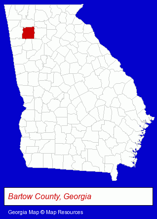
The Georgia counties map at upper right shows Bartow County, highlighted in red. Use the menu below to display interactive maps of Cartersville, either in a frame on this page or in full-screen mode.
Use the menu below to display categorized Cartersville directories.
| Cartersville Products and Services Directory | ||
|---|---|---|
| Building Materials | Home Improvement | Insurance |
| Metals | Printing and Publishing | |
Selected Cartersville, Georgia Listings
These randomly selected Cartersville listings provide some insight into the city's cultural environment and economic climate.- Printing Services
- Computer Printers
- Computer Supplies, Parts & Accessories
- Libraries
- Life Insurance
- Clothing & Accessories Retail
- Jewelers
- Jewelry Repair
- Watch Service & Repair
- Charitable & Nonprofit Organizations
- Community & Civic Organizations
- Educational Consultants
- Charitable, Educational & Research Foundations
- Adult & Continuing Education
- Self Improvement & Motivational Schools
- Reading Improvement Instruction
- Auto Insurance
- Business Insurance
- Chemicals Wholesale & Manufacturers
- Home Care Services
- Convenience Stores
- Maids & Butlers
- Phone Equipment & Systems Dealers
- Phone Equipment & Systems Service & Repair
- Telecommunications Equipment
Nearby Georgia Cities and Towns *
- Acworth (4) - Acworth, Georgia information and maps.
- Canton (3) - Canton, Georgia information and maps.
- Kennesaw (10) - Kennesaw, Georgia demographics and directory.
- Marietta (39) - Marietta, Georgia products & services directory.
- Rome (7) - Rome, Georgia demographics and maps.
- Smyrna (6) - Smyrna, Georgia demographics and maps.
- Woodstock (6) - Woodstock, Georgia demographics and maps.
* Parenthesized numbers indicate economic activity levels.
Copyright © 2011-2026 RegionalDirectory.us. All rights reserved.