Kokomo, Indiana Map and Directory
Regional Directory > States Menu > Indiana
 According to the United States Census Bureau, Kokomo is a City that is located in Howard County, Indiana at 40.49 degrees North and 86.13 degrees West.
The city's time zone is America/Indiana/Indianapolis, and the city's primary telephone area code is 765.
The land area of Kokomo is about 36.57 square miles, whereas the water area of the city is about 0.19 square miles.
Howard County's land area is about 293 square miles, so the city occupies about 12.5 percent of the county's total land area.
According to the United States Census Bureau, Kokomo is a City that is located in Howard County, Indiana at 40.49 degrees North and 86.13 degrees West.
The city's time zone is America/Indiana/Indianapolis, and the city's primary telephone area code is 765.
The land area of Kokomo is about 36.57 square miles, whereas the water area of the city is about 0.19 square miles.
Howard County's land area is about 293 square miles, so the city occupies about 12.5 percent of the county's total land area.
The Census Bureau estimates that Kokomo had about 58,020 residents in 2019, which is approximately 1,587 people per square mile of land area.
According to recent American Community Survey data, the median household income in Kokomo was about $45,797 per year.
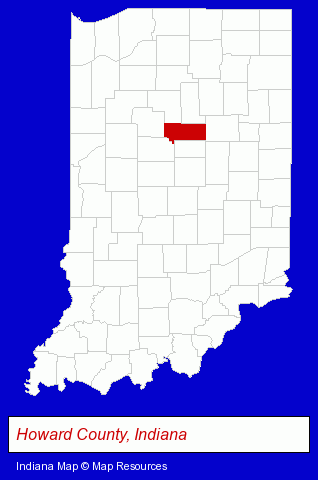
The Indiana counties map at upper right shows Howard County, highlighted in red. Use the menu below to display interactive maps of Kokomo, either in a frame on this page or in full-screen mode.
Use the menu below to display categorized Kokomo directories.
| Kokomo Products and Services Directory | ||
|---|---|---|
| Attorneys | Auto Service | Financial Services |
| Home Improvement | Insurance | Schools |
Selected Kokomo, Indiana Listings
These randomly selected Kokomo listings provide some insight into the city's cultural environment and economic climate.- Auto Parts Retail
- Auto Accessories Retail
- Computer & Equipment Dealers
- Office Supplies Retail
- Office Furniture & Equipment Dealers
- Office Furniture & Equipment Wholesale & Manufacturers
- Copiers & Supplies
- Office Supplies Retail
- Stationery Retail
- Auto Customizing, Conversion & Restoration
- Auto Cleaning & Detailing
- Auto Washing & Polishing
- Race Car Parts, Equipment & Supplies Retail
- Industrial Equipment & Supplies Wholesale & Manufacturers
- Automation Equipment & Systems Dealers Industrial
- Embroidery & Needlework
- Embroidery Service
- Building & Home Construction
- Special Trades Contractors
- Electric Contractors
- Electric Contractors Residential
- Libraries
- Drug Stores & Pharmacies
- Real Estate Agencies & Brokerage
- Real Estate Appraisers
- Elementary & Secondary Education
- Elementary Schools
- Preschools & Kindergartens
Nearby Indiana Cities and Towns *
- Anderson (3) - Anderson, Indiana information and maps.
- Carmel (14) - Carmel, Indiana demographics and directory.
- Fishers (5) - Fishers, Indiana demographics and maps.
- Logansport (1) - Logansport, Indiana information and maps.
- Noblesville (9) - Noblesville, Indiana demographics and directory.
- Westfield (1) - Westfield, Indiana information and maps.
* Parenthesized numbers indicate economic activity levels.
Copyright © 2011-2026 RegionalDirectory.us. All rights reserved.