Muncie, Indiana Map and Directory
Regional Directory > States Menu > Indiana
 According to the United States Census Bureau, Muncie is a City that is located in Delaware County, Indiana at 40.19 degrees North and 85.39 degrees West.
The city's time zone is America/Indiana/Indianapolis, and the city's primary telephone area code is 765.
The land area of Muncie is about 27.41 square miles, whereas the water area of the city is about 0.20 square miles.
Delaware County's land area is about 392 square miles, so the city occupies about 7.0 percent of the county's total land area.
According to the United States Census Bureau, Muncie is a City that is located in Delaware County, Indiana at 40.19 degrees North and 85.39 degrees West.
The city's time zone is America/Indiana/Indianapolis, and the city's primary telephone area code is 765.
The land area of Muncie is about 27.41 square miles, whereas the water area of the city is about 0.20 square miles.
Delaware County's land area is about 392 square miles, so the city occupies about 7.0 percent of the county's total land area.
The Census Bureau estimates that Muncie had about 67,999 residents in 2019, which is approximately 2,481 people per square mile of land area.
According to recent American Community Survey data, the median household income in Muncie was about $33,944 per year.
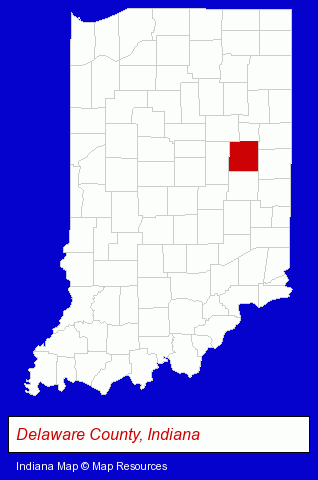
The Indiana counties map at upper right shows Delaware County, highlighted in red. Use the menu below to display interactive maps of Muncie, either in a frame on this page or in full-screen mode.
Use the menu below to display categorized Muncie directories.
| Muncie Products and Services Directory | ||
|---|---|---|
| Auto Body Shops | Auto Service | Home Improvement |
| Metals | Printing and Publishing | Schools |
| Visual Arts | ||
Selected Muncie, Indiana Listings
These randomly selected Muncie listings provide some insight into the city's cultural environment and economic climate.- Sign Dealers
- Signs Wholesale & Manufacturers
- Commercial Signs
- Letter Signs
- Dentists
- Performing Arts Schools
- Music Instruction
- Music
- Vocal Music Instruction
- Florists
- Gift Shops
- Courts
- Law Enforcement
- Water Sports
- Scuba & Skin Diving
- Diving Instruction
- Diving Equipment & Supplies
- Insurance
- Health Insurance
- Hair Care & Treatment
- Hair Removal
- Office Supplies Retail
- Stationery Retail
- Accountants
- Public Accountants
- Certified Public Accountants
- Accounting, Auditing & Bookkeeping Services
- Tax Return Preparation
- Payroll & Payroll Tax Preparation Services
Nearby Indiana Cities and Towns *
- Anderson (3) - Anderson, Indiana information and maps.
- Carmel (14) - Carmel, Indiana demographics and directory.
- Fishers (5) - Fishers, Indiana demographics and maps.
- Indianapolis (110) - Indianapolis, Indiana products & services directory.
- Noblesville (9) - Noblesville, Indiana demographics and directory.
* Parenthesized numbers indicate economic activity levels.
Copyright © 2011-2026 RegionalDirectory.us. All rights reserved.