Emporia, Kansas Map and Directory
Regional Directory > States Menu > Kansas
 According to the United States Census Bureau, Emporia is a City that is located in Lyon County, Kansas at 38.40 degrees North and 96.18 degrees West.
The city's time zone is America/Chicago, and the city's primary telephone area code is 620.
The land area of Emporia is about 12.00 square miles, whereas the water area of the city is about 0.11 square miles.
Lyon County's land area is about 847 square miles, so the city occupies about 1.4 percent of the county's total land area.
According to the United States Census Bureau, Emporia is a City that is located in Lyon County, Kansas at 38.40 degrees North and 96.18 degrees West.
The city's time zone is America/Chicago, and the city's primary telephone area code is 620.
The land area of Emporia is about 12.00 square miles, whereas the water area of the city is about 0.11 square miles.
Lyon County's land area is about 847 square miles, so the city occupies about 1.4 percent of the county's total land area.
The Census Bureau estimates that Emporia had about 24,598 residents in 2019, which is approximately 2,050 people per square mile of land area.
According to recent American Community Survey data, the median household income in Emporia was about $40,525 per year.
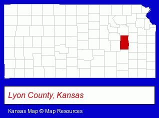
The Kansas counties map at upper right shows Lyon County, highlighted in red. Use the menu below to display interactive maps of Emporia, either in a frame on this page or in full-screen mode.
Use the menu below to display categorized Emporia directories.
| Emporia Products and Services Directory | ||
|---|---|---|
| Auto Service | Banks | Building Materials |
| Dentists | Home Improvement | |
Selected Emporia, Kansas Listings
These randomly selected Emporia listings provide some insight into the city's cultural environment and economic climate.- Scrap Iron & Metals
- Property & Casualty Insurance
- Business Insurance
- Boat & Yacht Insurance
- Motorcycle Insurance
- Machine Shops
- Auto Machine Shop Services
- Auto Engine Rebuilding
- Chiropractors
- Moving & Storage
- Government Contractors
- Movers
- Household Goods & Furniture Storage
- Antiques
- Auctions
- Auctioneers & Auction Houses
- Visual Arts
- Photography
- Professional Photographers
- Portrait Photographers
- Radio Stations
- Television & Radio Advertising Production
- Radio & Audio Advertising
- Candy & Confectionery Retail
Nearby Kansas Cities and Towns *
- Burlington (1) - Burlington, Kansas information and maps.
- Manhattan (16) - Manhattan, Kansas demographics and directory.
- Olathe (28) - Olathe, Kansas solutions directory and maps.
- Topeka (38) - Topeka, Kansas products & services directory.
- Wichita (109) - Wichita, Kansas products & services directory.
* Parenthesized numbers indicate economic activity levels.
Copyright © 2011-2026 RegionalDirectory.us. All rights reserved.