Wichita, Kansas Map and Directory
Regional Directory > States Menu > Kansas
 According to the United States Census Bureau, Wichita is a City that is located in Sedgwick County, Kansas at 37.69 degrees North and 97.34 degrees West.
The city's time zone is America/Chicago, and the city's primary telephone area code is 316.
The land area of Wichita is about 159.74 square miles, whereas the water area of the city is about 4.31 square miles.
Sedgwick County's land area is about 998 square miles, so the city occupies about 16.0 percent of the county's total land area.
According to the United States Census Bureau, Wichita is a City that is located in Sedgwick County, Kansas at 37.69 degrees North and 97.34 degrees West.
The city's time zone is America/Chicago, and the city's primary telephone area code is 316.
The land area of Wichita is about 159.74 square miles, whereas the water area of the city is about 4.31 square miles.
Sedgwick County's land area is about 998 square miles, so the city occupies about 16.0 percent of the county's total land area.
The Census Bureau estimates that Wichita had about 389,938 residents in 2019, which is approximately 2,441 people per square mile of land area.
According to recent American Community Survey data, the median household income in Wichita was about $52,620 per year. This Wichita Real Estate directory lists real estate solution providers in Wichita, Kansas.
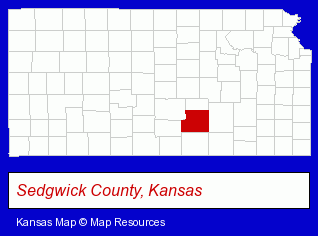
The Kansas counties map at upper right shows Sedgwick County, highlighted in red. Use the menu below to display interactive maps of Wichita, either in a frame on this page or in full-screen mode.
Use the menu below to display categorized Wichita directories.
Selected Wichita, Kansas Listings
These randomly selected Wichita listings provide some insight into the city's cultural environment and economic climate.- Brake Service & Repair
- Muffler & Exhaust System Service & Repair
- Government Contractors
- Aircraft Parts & Equipment Retail
- Investment Securities
- Stock & Bond Brokers
- Sports & Recreation Facilities
- Auto Racing
- Auto Race Tracks
- Advertising & Promotional Product Dealers
- Stationery Retail
- Manufacturing Production
- Clinics
- Hospitals
- Medical Diagnostic Clinics
- Certified Public Accountants
- Tax Return Preparation
- Tours & Charters
- Bus Charter & Rental
- Art Galleries & Dealers
- Pottery Retail
- 20th Century Art Galleries & Dealers
- Native American Art Galleries & Dealers
- Electric Contractors Residential
- Sign Dealers
- Signs Wholesale & Manufacturers
- Commercial Signs
- Sign Installation & Hanging
- Psychiatry Physicians
Nearby Kansas Cities and Towns *
- Andover (2) - Andover, Kansas information and maps.
- Derby (1) - Derby, Kansas information and maps.
- Emporia (5) - Emporia, Kansas demographics and maps.
- Hutchinson (9) - Hutchinson, Kansas demographics and directory.
- Lindsborg (1) - Lindsborg, Kansas information and maps.
- Newton (2) - Newton, Kansas information and maps.
- Wellington (1) - Wellington, Kansas information and maps.
* Parenthesized numbers indicate economic activity levels.
Copyright © 2011-2026 RegionalDirectory.us. All rights reserved.