Georgetown, Kentucky Map and Directory
Regional Directory > States Menu > Kentucky
 According to the United States Census Bureau, Georgetown is a City that is located in Scott County, Kentucky at 38.21 degrees North and 84.56 degrees West.
The city's time zone is America/New York, and the city's primary telephone area code is 502.
The land area of Georgetown is about 16.57 square miles, whereas the water area of the city is about 0.17 square miles.
Scott County's land area is about 282 square miles, so the city occupies about 5.9 percent of the county's total land area.
According to the United States Census Bureau, Georgetown is a City that is located in Scott County, Kentucky at 38.21 degrees North and 84.56 degrees West.
The city's time zone is America/New York, and the city's primary telephone area code is 502.
The land area of Georgetown is about 16.57 square miles, whereas the water area of the city is about 0.17 square miles.
Scott County's land area is about 282 square miles, so the city occupies about 5.9 percent of the county's total land area.
The Census Bureau estimates that Georgetown had about 34,992 residents in 2019, which is approximately 2,112 people per square mile of land area.
According to recent American Community Survey data, the median household income in Georgetown was about $65,812 per year.
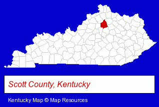
The Kentucky counties map at upper right shows Scott County, highlighted in red. Use the menu below to display interactive maps of Georgetown, either in a frame on this page or in full-screen mode.
Use the menu below to display categorized Georgetown directories.
| Georgetown Directory Page: | Physicians |
|---|
Selected Georgetown, Kentucky Listings
These Georgetown listings provide some insight into the city's cultural environment and economic climate. Georgetown Ambulance Service- Ambulance Services
- Emergency Ambulance Services
- Building & Home Construction
- Builders & Contractors
- Foundation Contractors
- Home Improvement & Maintenance
- Building Materials & Supplies Dealers
- Toy Stores
- Dolls & Accessories Retail
- Home Improvement & Maintenance
- Building Materials & Supplies Dealers
- Freight & Cargo Transport
- Freight Forwarding
- Freight Trucking
- Freight Consolidators & Distributors
- Freight Agents & Brokers
- Tires Retail
- Wheel & Tire Service & Repair
Nearby Kentucky Cities and Towns *
- Frankfort (4) - Frankfort, Kentucky information and maps.
- Lexington (39) - Lexington, Kentucky products & services directory.
- Nicholasville (1) - Nicholasville, Kentucky information and maps.
- Richmond (3) - Richmond, Kentucky information and maps.
- Shelbyville (2) - Shelbyville, Kentucky information and maps.
- Union (1) - Union, Kentucky information and maps.
- Winchester (1) - Winchester, Kentucky information and maps.
* Parenthesized numbers indicate economic activity levels.
Copyright © 2011-2026 RegionalDirectory.us. All rights reserved.