Houma, Louisiana Map and Directory
Regional Directory > States Menu > Louisiana
 According to the United States Census Bureau, Houma is a City that is located in Terrebonne Parish, Louisiana at 29.60 degrees North and 90.72 degrees West.
The city's time zone is America/Chicago, and the city's primary telephone area code is 985.
The land area of Houma is about 14.43 square miles, whereas the water area of the city is about 0.14 square miles.
Terrebonne Parish's land area is about 1,232 square miles, so the city occupies about 1.2 percent of the county's total land area.
According to the United States Census Bureau, Houma is a City that is located in Terrebonne Parish, Louisiana at 29.60 degrees North and 90.72 degrees West.
The city's time zone is America/Chicago, and the city's primary telephone area code is 985.
The land area of Houma is about 14.43 square miles, whereas the water area of the city is about 0.14 square miles.
Terrebonne Parish's land area is about 1,232 square miles, so the city occupies about 1.2 percent of the county's total land area.
The Census Bureau estimates that Houma had about 32,696 residents in 2019, which is approximately 2,266 people per square mile of land area.
According to recent American Community Survey data, the median household income in Houma was about $42,949 per year. This Houma Real Estate directory lists real estate solution providers in Houma, Louisiana.
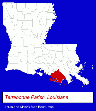
The Louisiana counties map at upper right shows Terrebonne Parish, highlighted in red. Use the menu below to display interactive maps of Houma, either in a frame on this page or in full-screen mode.
Use the menu below to display categorized Houma directories.
| Houma Products and Services Directory | ||
|---|---|---|
| Accountants | Attorneys | Auto Dealers |
| Auto Engine Services | Auto Service | Business Services |
| Dentists | Home Improvement | Metals |
| Personal Injury Attorneys | Physicians | Restaurants |
| Towing | ||
Selected Houma, Louisiana Listings
These randomly selected Houma listings provide some insight into the city's cultural environment and economic climate.- Answering Services
- Phone Communications Services Residential
- Home Health Care
- Nurses
- Health Care Professionals
- Corporate Business Attorneys
- Personal Injury Attorneys
- Insurance Law Attorneys
- Prosthodontics Dentists
- Hotels
- Hotel & Motel Reservations
- Endodontics Dentists
- Building & Home Construction
- Printing & Publishing
- Outdoor Sports & Recreation
- Hunting
- Gunsmiths
- Home Health Care
- Hospice Services
- Visual Arts
- Photography
- Professional Photographers
- Portrait Photographers
- Veterinarians
- Food Products Retail
- Fish & Seafood Retail
- Oysters
- Japanese Restaurants
- Caterers
- Brake Service & Repair
- Auto Transmissions
- Car Service & Repair
- Service Stations
- Civil Engineers
- Professional Engineers
- Fuel Oils
- Drainage Engineers
- Fuel Oils Commercial & Industrial
- Mortgages
- Credit Unions
- Information Technology Services
- Internet Products & Services
- Internet Services
- Internet Service Providers
- Security Systems & Services
- Investigation Services
- Detective Agencies
Nearby Louisiana Cities and Towns *
- Gonzales (2) - Gonzales, Louisiana information and maps.
- Kenner (10) - Kenner, Louisiana demographics and directory.
- Marrero (3) - Marrero, Louisiana information and maps.
- Metairie (48) - Metairie, Louisiana products & services directory.
- Morgan City (2) - Morgan City, Louisiana information and maps.
- New Orleans (76) - New Orleans, Louisiana products & services directory.
- Thibodaux (3) - Thibodaux, Louisiana information and maps.
* Parenthesized numbers indicate economic activity levels.
Copyright © 2011-2026 RegionalDirectory.us. All rights reserved.