Gonzales, Louisiana Map and Directory
Regional Directory > States Menu > Louisiana
 According to the United States Census Bureau, Gonzales is a City that is located in Ascension Parish, Louisiana at 30.24 degrees North and 90.92 degrees West.
The city's time zone is America/Chicago, and the city's primary telephone area code is 225.
The land area of Gonzales is about 9.10 square miles, whereas the water area of the city is about 0.11 square miles.
Ascension Parish's land area is about 290 square miles, so the city occupies about 3.1 percent of the county's total land area.
According to the United States Census Bureau, Gonzales is a City that is located in Ascension Parish, Louisiana at 30.24 degrees North and 90.92 degrees West.
The city's time zone is America/Chicago, and the city's primary telephone area code is 225.
The land area of Gonzales is about 9.10 square miles, whereas the water area of the city is about 0.11 square miles.
Ascension Parish's land area is about 290 square miles, so the city occupies about 3.1 percent of the county's total land area.
The Census Bureau estimates that Gonzales had about 10,957 residents in 2019, which is approximately 1,204 people per square mile of land area.
According to recent American Community Survey data, the median household income in Gonzales was about $52,923 per year.
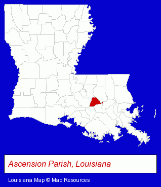
The Louisiana counties map at upper right shows Ascension Parish, highlighted in red. Use the menu below to display interactive maps of Gonzales, either in a frame on this page or in full-screen mode.
Use the menu below to display categorized Gonzales directories.
| Gonzales Products and Services Directory | |
|---|---|
| Home Improvement | Restaurants |
Selected Gonzales, Louisiana Listings
These representative Gonzales listings provide some insight into the city's cultural environment and economic climate.- Dentists
- Cosmetic Dentists
- TMJ Dentists
- Data Processing Services
- Medical Imaging
- Scanning Services
- Towing
- Marine Equipment & Supplies Retail
- Boat Service & Repair
- Food Products Wholesale & Manufacturers
- Agricultural Producers & Products
- Mortgages
- Real Estate Loans
- Escrow Services
- Mortgage Brokers
- Dentists
- Orthodontics Dentists
- Truck Dealers
- Used Cars
- Physicians & Surgeons
- Rehabilitation Services
- Clinics
- General Practice
- Orthopedics Physicians & Surgeons
- Auto Service & Repair
- Gas Stations
- Clothing Stores
- Shoe Stores
- Energy & Environment
- Office Building & Industrial Cleaning Services
- Chemicals Wholesale & Manufacturers
- Pressure Cleaning
- Pressure & Chemical Cleaning Industrial
- Health Insurance
- Life Insurance
- Accident & Health Insurance
Nearby Louisiana Cities and Towns *
- Baton Rouge (95) - Baton Rouge, Louisiana products & services directory.
- Hammond (9) - Hammond, Louisiana demographics and directory.
- Kenner (10) - Kenner, Louisiana demographics and directory.
- Morgan City (2) - Morgan City, Louisiana information and maps.
- Ponchatoula (1) - Ponchatoula, Louisiana information and maps.
- Port Allen (1) - Port Allen, Louisiana information and maps.
- Thibodaux (3) - Thibodaux, Louisiana information and maps.
* Parenthesized numbers indicate economic activity levels.
Copyright © 2011-2026 RegionalDirectory.us. All rights reserved.