Mandeville, Louisiana Map and Directory
Regional Directory > States Menu > Louisiana
 According to the United States Census Bureau, Mandeville is a City that is located in St. Tammany Parish, Louisiana at 30.36 degrees North and 90.07 degrees West.
The city's time zone is America/Chicago, and the city's primary telephone area code is 985.
The land area of Mandeville is about 6.94 square miles, whereas the water area of the city is about 0.11 square miles.
According to the United States Census Bureau, Mandeville is a City that is located in St. Tammany Parish, Louisiana at 30.36 degrees North and 90.07 degrees West.
The city's time zone is America/Chicago, and the city's primary telephone area code is 985.
The land area of Mandeville is about 6.94 square miles, whereas the water area of the city is about 0.11 square miles.
The Census Bureau estimates that Mandeville had about 12,475 residents in 2019, which is approximately 1,798 people per square mile of land area.
According to recent American Community Survey data, the median household income in Mandeville was about $72,989 per year.
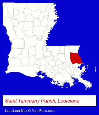
The Louisiana counties map at upper right shows St. Tammany Parish, highlighted in red. Use the menu below to display interactive maps of Mandeville, either in a frame on this page or in full-screen mode.
Use the menu below to display categorized Mandeville directories.
| Mandeville Products and Services Directory | ||
|---|---|---|
| Accountants | Architects | Attorneys |
| Auto Insurance | Building Contractors | Building Materials |
| Business Services | Clothing Stores | Dentists |
| Financial Services | Home Improvement | Information Technology |
| Insurance | Physicians | Restaurants |
| Schools | ||
Selected Mandeville, Louisiana Listings
These randomly selected Mandeville listings in 70448 provide a window into the city's cultural environment and economic climate. A B Computer Solutions Inc- Computer & Equipment Dealers
- Computer Consultants
- Computer Networks
- French Restaurants
- Building & Home Construction
- Builders & Contractors
- Metal Buildings Dealers
- Metal Building Contractors
- Counseling Services
- Financing
- Financial Counselors
- Auto Dealers
- Title Insurance
- Escrow Services
- Notaries Public
- Building & Home Construction
- Builders & Contractors
- Building Contractors
- Home Builders & Developers
- Construction Companies
- Building & Home Construction
- Architects
- Architectural Services
- Psychologists
- Psychiatry Physicians
- Behavioral Medicine Psychiatrists & Psychologists
- Child & Adolescent Psychiatry Physicians
- Building Contractors
- Roofing Contractors
- Siding Contractors
- Gutters & Downspouts Dealers
- Roofing Maintenance & Repair
- Sports & Recreation Facilities
- Soccer
- Soccer Clubs & Instruction
- Soccer Facilities
- Building & Home Construction
- Business & Professional Associations & Organizations
- Architects
- Architectural Services
- Marinas
- Cultural Attractions, Events & Facilities
- Libraries
- Builders & Contractors
- Building Contractors
Nearby Louisiana Cities and Towns *
- Chalmette (2) - Chalmette, Louisiana information and maps.
- Covington (14) - Covington, Louisiana demographics and directory.
- Hammond (9) - Hammond, Louisiana demographics and directory.
- Kenner (10) - Kenner, Louisiana demographics and directory.
- Metairie (48) - Metairie, Louisiana products & services directory.
- New Orleans (76) - New Orleans, Louisiana products & services directory.
- Slidell (17) - Slidell, Louisiana solutions directory and maps.
* Parenthesized numbers indicate economic activity levels.
Copyright © 2011-2026 RegionalDirectory.us. All rights reserved.