Paxton, Massachusetts Map and Directory
Regional Directory > States Menu > Massachusetts
 According to the United States Census Bureau, Paxton is a Town that is located in Worcester County, Massachusetts at 42.31 degrees North and 71.94 degrees West.
The town's time zone is America/New York, and the town's primary telephone area code is 774.
The land area of Paxton is about 14.69 square miles, whereas the water area of the town is about 0.77 square miles.
Worcester County's land area is about 1,511 square miles, so the town occupies about 1.0 percent of the county's total land area.
According to the United States Census Bureau, Paxton is a Town that is located in Worcester County, Massachusetts at 42.31 degrees North and 71.94 degrees West.
The town's time zone is America/New York, and the town's primary telephone area code is 774.
The land area of Paxton is about 14.69 square miles, whereas the water area of the town is about 0.77 square miles.
Worcester County's land area is about 1,511 square miles, so the town occupies about 1.0 percent of the county's total land area.
The Census Bureau estimates that Paxton had about 4,854 residents in 2014, which is approximately 330 people per square mile of land area.
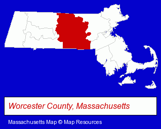
The Massachusetts counties map at upper right shows Worcester County, highlighted in red. Use the menu below to display interactive maps of Paxton, either in a frame on this page or in full-screen mode.
Use the menu below to display categorized Paxton directories.
| Paxton Directory Page: | Radio Stations |
|---|
Selected Paxton, Massachusetts Listings
These Paxton listings provide some insight into the town's cultural environment and economic climate. Conte Insurance Agency Inc- Insurance
- Dentists
- Health Information & Referral Services
- Dentists
Nearby Massachusetts Cities and Towns *
- Auburn (2) - Auburn, Massachusetts information and maps.
- Leominster (11) - Leominster, Massachusetts demographics and directory.
- Marlborough (17) - Marlborough, Massachusetts solutions directory and maps.
- Sterling (2) - Sterling, Massachusetts information and maps.
- Westborough (7) - Westborough, Massachusetts demographics and maps.
- Worcester (34) - Worcester, Massachusetts products & services directory.
* Parenthesized numbers indicate economic activity levels.
Copyright © 2011-2026 RegionalDirectory.us. All rights reserved.