Provincetown, Massachusetts Map and Directory
Regional Directory > States Menu > Massachusetts
 According to the United States Census Bureau, Provincetown is a Town that is located in Barnstable County, Massachusetts at 42.06 degrees North and 70.19 degrees West.
The town's time zone is America/New York, and the town's primary telephone area code is 774.
The land area of Provincetown is about 9.67 square miles, whereas the water area of the town is about 7.81 square miles.
Barnstable County's land area is about 394 square miles, so the town occupies about 2.5 percent of the county's total land area.
According to the United States Census Bureau, Provincetown is a Town that is located in Barnstable County, Massachusetts at 42.06 degrees North and 70.19 degrees West.
The town's time zone is America/New York, and the town's primary telephone area code is 774.
The land area of Provincetown is about 9.67 square miles, whereas the water area of the town is about 7.81 square miles.
Barnstable County's land area is about 394 square miles, so the town occupies about 2.5 percent of the county's total land area.
The Census Bureau estimates that Provincetown had about 2,980 residents in 2014, which is approximately 308 people per square mile of land area.
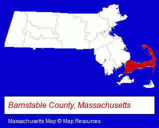
The Massachusetts counties map at upper right shows Barnstable County, highlighted in red. Use the menu below to display interactive maps of Provincetown, either in a frame on this page or in full-screen mode.
Use the menu below to display categorized Provincetown directories.
| Provincetown Products and Services Directory | ||
|---|---|---|
| Hotels | Restaurants | Steak Restaurants |
| Visual Arts | ||
Selected Provincetown, Massachusetts Listings
These randomly selected Provincetown listings provide some insight into the town's cultural environment and economic climate.- Animal Shelters
- Lodging
- Hotels
- Motels
- Major Appliance Dealers
- Dishwasher Sales & Service
- Art Galleries & Dealers
- Gift Shops
- Housewares Stores
- Kitchenware & Glassware Retail
- Kitchen Gifts & Accessories
- Commercial Printing
- Newspaper Publishers
- Bicycle Dealers
- Bicycle Repair & Maintenance
- Bicycle Rental
- Coffee & Tea Shops
- Lodging
- Hotels
- Bed & Breakfasts
- Bed & Breakfast Reservations
Nearby Massachusetts Cities and Towns *
- Brewster (1) - Brewster, Massachusetts information and maps.
- Harwich (1) - Harwich, Massachusetts information and maps.
- Orleans (5) - Orleans, Massachusetts demographics and maps.
- Plymouth (16) - Plymouth, Massachusetts demographics and directory.
- South Dennis (1) - South Dennis, Massachusetts information and maps.
- South Yarmouth (1) - South Yarmouth, Massachusetts information and maps.
* Parenthesized numbers indicate economic activity levels.
Copyright © 2011-2026 RegionalDirectory.us. All rights reserved.