Poplar Bluff, Missouri Map and Directory
Regional Directory > States Menu > Missouri
 According to the United States Census Bureau, Poplar Bluff is a City that is located in Butler County, Missouri at 36.76 degrees North and 90.39 degrees West.
The city's time zone is America/Chicago, and the city's primary telephone area code is 573.
The land area of Poplar Bluff is about 13.14 square miles, whereas the water area of the city is about 0.07 square miles.
Butler County's land area is about 695 square miles, so the city occupies about 1.9 percent of the county's total land area.
According to the United States Census Bureau, Poplar Bluff is a City that is located in Butler County, Missouri at 36.76 degrees North and 90.39 degrees West.
The city's time zone is America/Chicago, and the city's primary telephone area code is 573.
The land area of Poplar Bluff is about 13.14 square miles, whereas the water area of the city is about 0.07 square miles.
Butler County's land area is about 695 square miles, so the city occupies about 1.9 percent of the county's total land area.
The Census Bureau estimates that Poplar Bluff had about 16,937 residents in 2019, which is approximately 1,289 people per square mile of land area.
According to recent American Community Survey data, the median household income in Poplar Bluff was about $30,370 per year.
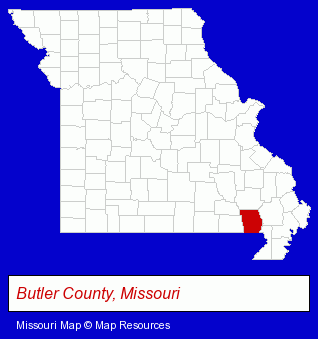
The Missouri counties map at upper right shows Butler County, highlighted in red. Use the menu below to display interactive maps of Poplar Bluff, either in a frame on this page or in full-screen mode.
Use the menu below to display categorized Poplar Bluff directories.
| Poplar Bluff Products and Services Directory | ||
|---|---|---|
| Electric Companies | Financial Services | Physicians |
| Radio Stations | ||
Selected Poplar Bluff, Missouri Listings
These randomly selected Poplar Bluff listings provide some insight into the city's cultural environment and economic climate.- Auto Dealers
- Trucking Companies
- Tool Rental & Leasing
- Outdoor Sports & Recreation
- Lodging
- Camps
- Resident Camps
- Ophthalmology Physicians & Surgeons
- General Practice
- Contact Lenses
- General Surgeons
- Truck Dealers
- Used Cars
- Used Trucks
- Clinics & Medical Centers
- Chiropractors
- Clinics
- Hospitals
- Banks
Nearby Missouri Cities and Towns *
- Cape Girardeau (9) - Cape Girardeau, Missouri demographics and directory.
- Dexter (2) - Dexter, Missouri information and maps.
- Eminence (1) - Eminence, Missouri information and maps.
- Farmington (2) - Farmington, Missouri information and maps.
- Fenton (15) - Fenton, Missouri demographics and directory.
- Sikeston (4) - Sikeston, Missouri information and maps.
Large and Mid-size Cities in Nearby States
- Jonesboro, Arkansas (11) - Jonesboro, AR demographics and maps.
* Parenthesized numbers indicate economic activity levels.
Copyright © 2011-2026 RegionalDirectory.us. All rights reserved.