Warsaw, Missouri Map and Directory
Regional Directory > States Menu > Missouri
 According to the United States Census Bureau, Warsaw is a City that is located in Benton County, Missouri at 38.24 degrees North and 93.38 degrees West.
The city's time zone is America/Chicago, and the city's primary telephone area code is 660.
The land area of Warsaw is about 2.41 square miles, whereas the water area of the city is about 0.20 square miles.
Benton County's land area is about 704 square miles, so the city occupies about 0.3 percent of the county's total land area.
According to the United States Census Bureau, Warsaw is a City that is located in Benton County, Missouri at 38.24 degrees North and 93.38 degrees West.
The city's time zone is America/Chicago, and the city's primary telephone area code is 660.
The land area of Warsaw is about 2.41 square miles, whereas the water area of the city is about 0.20 square miles.
Benton County's land area is about 704 square miles, so the city occupies about 0.3 percent of the county's total land area.
The Census Bureau estimates that Warsaw had about 2,115 residents in 2014, which is approximately 878 people per square mile of land area.
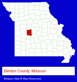
The Missouri counties map at upper right shows Benton County, highlighted in red. Use the menu below to display interactive maps of Warsaw, either in a frame on this page or in full-screen mode.
Use the menu below to display categorized Warsaw directories.
| Warsaw Directory Page: | Hotels |
|---|
Selected Warsaw, Missouri Listings
These Warsaw listings provide some insight into the city's cultural environment and economic climate. Fairfield RV Park- Campgrounds & RV Parks
- Camps
- Restaurants
- Marinas
- Sports & Recreation Facilities
- Health Clubs & Gyms
- Recreation Centers
Nearby Missouri Cities and Towns *
- Bolivar (1) - Bolivar, Missouri information and maps.
- Camdenton (1) - Camdenton, Missouri information and maps.
- Osage Beach (7) - Osage Beach, Missouri demographics and maps.
- Sedalia (2) - Sedalia, Missouri information and maps.
- Springfield (69) - Springfield, Missouri products & services directory.
* Parenthesized numbers indicate economic activity levels.
Copyright © 2011-2026 RegionalDirectory.us. All rights reserved.