Camdenton, Missouri Map and Directory
Regional Directory > States Menu > Missouri
 According to the United States Census Bureau, Camdenton is a City that is located in Camden County, Missouri at 38.01 degrees North and 92.74 degrees West.
The city's time zone is America/Chicago, and the city's primary telephone area code is 573.
The land area of Camdenton is about 5.48 square miles, whereas the water area of the city is about 0.00 square miles.
Camden County's land area is about 656 square miles, so the city occupies about 0.8 percent of the county's total land area.
According to the United States Census Bureau, Camdenton is a City that is located in Camden County, Missouri at 38.01 degrees North and 92.74 degrees West.
The city's time zone is America/Chicago, and the city's primary telephone area code is 573.
The land area of Camdenton is about 5.48 square miles, whereas the water area of the city is about 0.00 square miles.
Camden County's land area is about 656 square miles, so the city occupies about 0.8 percent of the county's total land area.
The Census Bureau estimates that Camdenton had about 3,844 residents in 2014, which is approximately 701 people per square mile of land area.
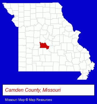
The Missouri counties map at upper right shows Camden County, highlighted in red. Use the menu below to display interactive maps of Camdenton, either in a frame on this page or in full-screen mode.
Use the menu below to display categorized Camdenton directories.
| Camdenton Directory Page: | Auto Service |
|---|
Selected Camdenton, Missouri Listings
These Camdenton listings provide some insight into the city's cultural environment and economic climate.- Clothing Stores
- Clothing & Accessories Retail
- Resale, Second Hand & Used Merchandise Stores
- Clothing & Accessories Consignment & Resale
- Used Clothing Retail
- Business Services
- Business Management Services
- Human Resource Consultants
- Financial Services
- Title Insurance
- Escrow Services
- Real Estate Title Search & Abstract Services
- Auto Dealers
- Auto Buyers
- Auto Leasing
- Radio Stations
- Radio Stations
- Auto Parts Retail
- Auto Tire Shop Equipment & Supplies
- Optometrists
- Contact Lenses
- Marinas
- Docks
- Marine Contractors & Designers
- Marine Engineers
- Business Services
- Business Consultants & Advisors
- Management Consultants
- Business Management Services
- Marketing Consultants
- Pest Control Services
- Pest Control Services Commercial & Industrial
- Termite Control
- Pest Control Information & Referral Services
- Docks
- Boat & Boat Trailer Storage
- Security Systems & Services
- Fire Departments
- Auto Parts Wholesale & Manufacturers
- Truck Parts & Equipment Wholesale & Manufacturers
- Fire Department Equipment & Supplies
Nearby Missouri Cities and Towns *
- Bolivar (1) - Bolivar, Missouri information and maps.
- Columbia (28) - Columbia, Missouri solutions directory and maps.
- Jefferson City (18) - Jefferson City, Missouri solutions directory and maps.
- Osage Beach (7) - Osage Beach, Missouri demographics and maps.
- Sedalia (2) - Sedalia, Missouri information and maps.
- Springfield (69) - Springfield, Missouri products & services directory.
- Warsaw (1) - Warsaw, Missouri information and maps.
* Parenthesized numbers indicate economic activity levels.
Copyright © 2011-2026 RegionalDirectory.us. All rights reserved.