Keene, New Hampshire Map and Directory
Regional Directory > States Menu > New Hampshire
 According to the United States Census Bureau, Keene is a City that is located in Cheshire County, New Hampshire at 42.93 degrees North and 72.28 degrees West.
The city's time zone is America/New York, and the city's primary telephone area code is 603.
The land area of Keene is about 37.25 square miles, whereas the water area of the city is about 0.25 square miles.
Cheshire County's land area is about 707 square miles, so the city occupies about 5.3 percent of the county's total land area.
According to the United States Census Bureau, Keene is a City that is located in Cheshire County, New Hampshire at 42.93 degrees North and 72.28 degrees West.
The city's time zone is America/New York, and the city's primary telephone area code is 603.
The land area of Keene is about 37.25 square miles, whereas the water area of the city is about 0.25 square miles.
Cheshire County's land area is about 707 square miles, so the city occupies about 5.3 percent of the county's total land area.
The Census Bureau estimates that Keene had about 22,786 residents in 2019, which is approximately 612 people per square mile of land area.
According to recent American Community Survey data, the median household income in Keene was about $56,971 per year.
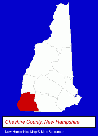
The New Hampshire counties map at upper right shows Cheshire County, highlighted in red. Use the menu below to display interactive maps of Keene, either in a frame on this page or in full-screen mode.
Use the menu below to display categorized Keene directories.
| Keene Products and Services Directory | ||
|---|---|---|
| Business Services | Chiropractors | Dentists |
| Financial Services | Home Improvement | Insurance |
| Physicians | Restaurants | Visual Arts |
Selected Keene, New Hampshire Listings
These randomly selected Keene listings provide some insight into the city's cultural environment and economic climate.- Florists
- Marine Upholstery
- Auto Upholstery Retail
- Bookkeeping Services
- Therapeutic Massage
- Building & Home Construction
- Heating Contractors
- Heating & Ventilating Contractors
- Fuel Oil Wholesalers
- Beauty Salons
- Manicures & Pedicures
- Orthodontics Dentists
- Photography
- Professional Photographers
- Photographers Commercial & Industrial
- Photographic Equipment & Supplies Retail
- Coffee & Tea Shops
- Take Out
- Metals
- Industrial Equipment & Supplies Wholesale & Manufacturers
- Machine Shops
- Tool & Die Makers
- Caterers
- Information Technology Services
- Computer Consultants
- Computer Systems Consultants & Designers
- Candy & Confectionery Retail
Nearby New Hampshire Cities and Towns *
- Amherst (7) - Amherst, New Hampshire demographics and maps.
- Bedford (10) - Bedford, New Hampshire demographics and directory.
- Bow (3) - Bow, New Hampshire information and maps.
- Concord (23) - Concord, New Hampshire solutions directory and maps.
- Manchester (39) - Manchester, New Hampshire products & services directory.
- Merrimack (7) - Merrimack, New Hampshire demographics and maps.
- Peterborough (3) - Peterborough, New Hampshire information and maps.
* Parenthesized numbers indicate economic activity levels.
Copyright © 2011-2026 RegionalDirectory.us. All rights reserved.