Haleiwa, Hawaii Map and Directory
Regional Directory > States Menu > Hawaii
 According to the United States Census Bureau, Haleiwa is a Census-designated Place that is located in Honolulu County, Hawaii at 21.59 degrees North and 158.11 degrees West.
The place's time zone is Pacific/Honolulu, and the place's primary telephone area code is 808.
The land area of Haleiwa is about 2.28 square miles, whereas the water area of the place is about 0.71 square miles.
Honolulu County's land area is about 601 square miles, so the place occupies about 0.4 percent of the county's total land area.
According to the United States Census Bureau, Haleiwa is a Census-designated Place that is located in Honolulu County, Hawaii at 21.59 degrees North and 158.11 degrees West.
The place's time zone is Pacific/Honolulu, and the place's primary telephone area code is 808.
The land area of Haleiwa is about 2.28 square miles, whereas the water area of the place is about 0.71 square miles.
Honolulu County's land area is about 601 square miles, so the place occupies about 0.4 percent of the county's total land area.
The Census Bureau estimates that Haleiwa had about 3,883 residents in 2014, which is approximately 1,703 people per square mile of land area.
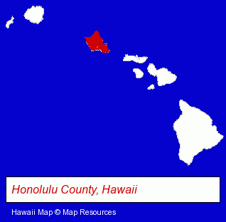
The Hawaii counties map at upper right shows Honolulu County, highlighted in red. Use the menu below to display interactive maps of Haleiwa, either in a frame on this page or in full-screen mode.
Use the menu below to display categorized Haleiwa directories.
| Haleiwa Directory Page: | Vacation Home Rental |
|---|
Selected Haleiwa, Hawaii Listings
These Haleiwa listings provide some insight into the place's cultural environment and economic climate. Backpackers Plantation Village- Trucking Companies
- Vacation Home Rental
- Hostels
- Restaurants
- Bar & Grill Restaurants
- Seafood Restaurants
- Steak & Seafood Restaurants
- Homes & Residential Real Estate
- General Real Estate
- Vacation Home Rental
- Homes & Residential Real Estate
- General Real Estate
- Lodging
- Hotels
Nearby Hawaii Cities and Towns *
- Honolulu (68) - Honolulu, Hawaii products & services directory.
- Lahaina (9) - Lahaina, Hawaii demographics and directory.
- Waipahu (1) - Waipahu, Hawaii information and maps.
* Parenthesized numbers indicate economic activity levels.
Copyright © 2011-2026 RegionalDirectory.us. All rights reserved.