Honolulu, Hawaii Map and Directory
Regional Directory > States Menu > Hawaii
 According to the United States Census Bureau, Honolulu is a Census-designated Place that is located in Honolulu County, Hawaii at 21.32 degrees North and 157.85 degrees West.
The place's time zone is Pacific/Honolulu, and the place's primary telephone area code is 808.
The land area of Honolulu is about 60.52 square miles, whereas the water area of the place is about 7.91 square miles.
Honolulu County's land area is about 601 square miles, so the place occupies about 10.1 percent of the county's total land area.
According to the United States Census Bureau, Honolulu is a Census-designated Place that is located in Honolulu County, Hawaii at 21.32 degrees North and 157.85 degrees West.
The place's time zone is Pacific/Honolulu, and the place's primary telephone area code is 808.
The land area of Honolulu is about 60.52 square miles, whereas the water area of the place is about 7.91 square miles.
Honolulu County's land area is about 601 square miles, so the place occupies about 10.1 percent of the county's total land area.
The Census Bureau estimates that Honolulu had about 345,064 residents in 2019, which is approximately 5,702 people per square mile of land area.
According to recent American Community Survey data, the median household income in Honolulu was about $71,465 per year. This Honolulu Real Estate directory lists real estate solution providers in Honolulu, Hawaii.
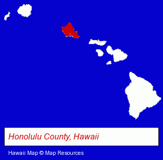
The Hawaii counties map at upper right shows Honolulu County, highlighted in red. Use the menu below to display interactive maps of Honolulu, either in a frame on this page or in full-screen mode.
Use the menu below to display categorized Honolulu directories.
Selected Honolulu, Hawaii Listings
These randomly selected Honolulu listings provide some insight into the place's cultural environment and economic climate.- Building & Home Construction
- Electric Contractors
- Electric Contractors Residential
- Osteopathic Physicians & Surgeons
- Cosmetic & Reconstructive Surgeons
- Motels
- Weddings
- Banquet Facilities
- Wedding Services
- Wedding Chapels
- Wedding Planners
- Art Galleries & Dealers
- Antique Dealers
- Computer Consultants
- Computer Systems Consultants & Designers
- Specialty & Gourmet Foods Retail
- Gourmet Foods Retail
- Clinics
- Toy Stores
- Toys Wholesale & Manufacturers
- Dolls & Accessories Retail
- Toy Equipment & Supplies
- Preschools & Kindergartens
- Interior Decorators & Designers Commercial & Industrial
- Interior Plants Design & Maintenance
- Interior Landscaping
- Cosmetics Retail
- Advertising
- Advertising & Promotional Product Dealers
- Advertising Specialties Wholesale & Manufacturers
- Advertising & Promotional Gifts
- Air Cargo & Package Express Services
- Trucking Companies
- Heavy Duty Trucking
- Travel Industry
- Janitorial Equipment & Supplies Retail
- Window Coverings Wholesale & Manufacturers
- Draperies & Curtains Wholesale & Manufacturers
Nearby Hawaii Cities and Towns *
- Haleiwa (1) - Haleiwa, Hawaii information and maps.
- Kihei (8) - Kihei, Hawaii demographics and maps.
- Lahaina (9) - Lahaina, Hawaii demographics and directory.
- Waipahu (1) - Waipahu, Hawaii information and maps.
* Parenthesized numbers indicate economic activity levels.
Copyright © 2011-2026 RegionalDirectory.us. All rights reserved.