Baton Rouge, Louisiana Map and Directory
Regional Directory > States Menu > Louisiana
 According to the United States Census Bureau, Baton Rouge is a City that is located in East Baton Rouge Parish, Louisiana at 30.45 degrees North and 91.15 degrees West.
The city's time zone is America/Chicago, and the city's primary telephone area code is 225.
The land area of Baton Rouge is about 85.91 square miles, whereas the water area of the city is about 2.19 square miles.
East Baton Rouge Parish's land area is about 455 square miles, so the city occupies about 18.9 percent of the county's total land area.
According to the United States Census Bureau, Baton Rouge is a City that is located in East Baton Rouge Parish, Louisiana at 30.45 degrees North and 91.15 degrees West.
The city's time zone is America/Chicago, and the city's primary telephone area code is 225.
The land area of Baton Rouge is about 85.91 square miles, whereas the water area of the city is about 2.19 square miles.
East Baton Rouge Parish's land area is about 455 square miles, so the city occupies about 18.9 percent of the county's total land area.
The Census Bureau estimates that Baton Rouge had about 220,236 residents in 2019, which is approximately 2,564 people per square mile of land area.
According to recent American Community Survey data, the median household income in Baton Rouge was about $44,470 per year. This Baton Rouge Real Estate directory lists real estate solution providers in Baton Rouge, Louisiana.
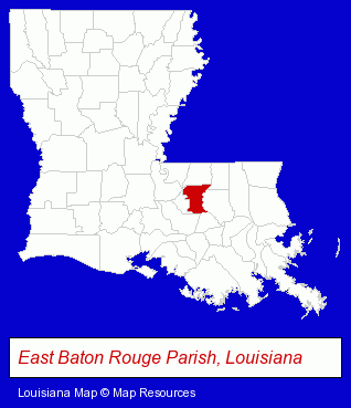
The Louisiana counties map at upper right shows East Baton Rouge Parish, highlighted in red. Use the menu below to display interactive maps of Baton Rouge, either in a frame on this page or in full-screen mode.
Use the menu below to display categorized Baton Rouge directories.
Selected Baton Rouge, Louisiana Listings
These randomly selected Baton Rouge listings provide some insight into the city's cultural environment and economic climate.- Wedding Equipment & Supplies
- Wedding Supplies & Services
- Radiology Physicians & Surgeons
- Music & Recording Industry
- Engineers
- Consulting Engineers
- Professional Engineers
- Architectural Engineers
- Certified Public Accountants
- Colleges & Universities
- Builders & Contractors
- Building Contractors
- Government Contractors
- Mortgages
- Personal Loans
- Mortgage & Loan Banks
- Escrow Services
- Pediatrics Physicians & Surgeons
- General Practice
- Property & Casualty Insurance
- Security Systems Wholesale & Manufacturers
- Maxillofacial Physicians & Surgeons
- Financial Planning Consultants & Services
- Personal Financial Services
- Financial Counselors
- Heating & Ventilating Contractors
- Truck Equipment, Parts & Accessories Retail
- Truck Service & Repair
- Truck Body Repair & Painting
Nearby Louisiana Cities and Towns *
- Gonzales (2) - Gonzales, Louisiana information and maps.
- Hammond (9) - Hammond, Louisiana demographics and directory.
- Morgan City (2) - Morgan City, Louisiana information and maps.
- New Iberia (5) - New Iberia, Louisiana demographics and maps.
- Ponchatoula (1) - Ponchatoula, Louisiana information and maps.
- Port Allen (1) - Port Allen, Louisiana information and maps.
- Thibodaux (3) - Thibodaux, Louisiana information and maps.
* Parenthesized numbers indicate economic activity levels.
Copyright © 2011-2026 RegionalDirectory.us. All rights reserved.