Crawfordsville, Indiana Map and Directory
Regional Directory > States Menu > Indiana
 According to the United States Census Bureau, Crawfordsville is a City that is located in Montgomery County, Indiana at 40.04 degrees North and 86.87 degrees West.
The city's time zone is America/Indiana/Indianapolis, and the city's primary telephone area code is 765.
The land area of Crawfordsville is about 9.15 square miles, whereas the water area of the city is about 0.00 square miles.
Montgomery County's land area is about 505 square miles, so the city occupies about 1.8 percent of the county's total land area.
According to the United States Census Bureau, Crawfordsville is a City that is located in Montgomery County, Indiana at 40.04 degrees North and 86.87 degrees West.
The city's time zone is America/Indiana/Indianapolis, and the city's primary telephone area code is 765.
The land area of Crawfordsville is about 9.15 square miles, whereas the water area of the city is about 0.00 square miles.
Montgomery County's land area is about 505 square miles, so the city occupies about 1.8 percent of the county's total land area.
The Census Bureau estimates that Crawfordsville had about 16,118 residents in 2019, which is approximately 1,762 people per square mile of land area.
According to recent American Community Survey data, the median household income in Crawfordsville was about $44,077 per year.
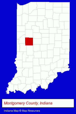
The Indiana counties map at upper right shows Montgomery County, highlighted in red. Use the menu below to display interactive maps of Crawfordsville, either in a frame on this page or in full-screen mode.
Use the menu below to display categorized Crawfordsville directories.
| Crawfordsville Directory Page: | Printing and Publishing |
|---|
Selected Crawfordsville, Indiana Listings
These Crawfordsville listings provide some insight into the city's cultural environment and economic climate. Curran's Tax Service- Financial Services
- Accounting, Auditing & Bookkeeping Services
- Attorneys
- Corporate Business Attorneys
- Personal Injury Attorneys
- Estate Planning & Administration Attorneys
- Real Estate Attorneys
- Financial Services
- Accountants
- Public Accountants
- Accounting, Auditing & Bookkeeping Services
- Certified Public Accountants
- Metals
- Metal Products
- Metal Products Wholesale & Manufacturers
- Metal Products Dealers
- Title Insurance
- Real Estate Title Search & Abstract Services
- Publishing Consultants & Services
- Truck Dealers
- Sports & Recreation Facilities
- Used Cars
- Used Trucks
- Go Carts
Nearby Indiana Cities and Towns *
- Carmel (14) - Carmel, Indiana demographics and directory.
- Greencastle (2) - Greencastle, Indiana information and maps.
- Indianapolis (110) - Indianapolis, Indiana products & services directory.
- Lafayette (12) - Lafayette, Indiana demographics and directory.
- Terre Haute (8) - Terre Haute, Indiana demographics and maps.
- West Lafayette (2) - West Lafayette, Indiana information and maps.
- Zionsville (2) - Zionsville, Indiana information and maps.
Large and Mid-size Cities in Nearby States
- Danville, Illinois (6) - Danville, IL information and maps.
* Parenthesized numbers indicate economic activity levels.
Copyright © 2011-2026 RegionalDirectory.us. All rights reserved.