Lafayette, Indiana Map and Directory
Regional Directory > States Menu > Indiana
 According to the United States Census Bureau, Lafayette is a City that is located in Tippecanoe County, Indiana at 40.42 degrees North and 86.88 degrees West.
The city's time zone is America/Indiana/Indianapolis, and the city's primary telephone area code is 765.
The land area of Lafayette is about 29.47 square miles, whereas the water area of the city is about 0.00 square miles.
Tippecanoe County's land area is about 500 square miles, so the city occupies about 5.9 percent of the county's total land area.
According to the United States Census Bureau, Lafayette is a City that is located in Tippecanoe County, Indiana at 40.42 degrees North and 86.88 degrees West.
The city's time zone is America/Indiana/Indianapolis, and the city's primary telephone area code is 765.
The land area of Lafayette is about 29.47 square miles, whereas the water area of the city is about 0.00 square miles.
Tippecanoe County's land area is about 500 square miles, so the city occupies about 5.9 percent of the county's total land area.
The Census Bureau estimates that Lafayette had about 71,721 residents in 2019, which is approximately 2,434 people per square mile of land area.
According to recent American Community Survey data, the median household income in Lafayette was about $46,374 per year.
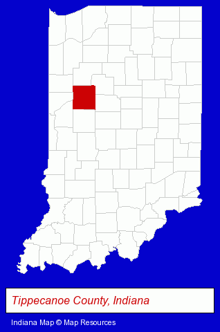
The Indiana counties map at upper right shows Tippecanoe County, highlighted in red. Use the menu below to display interactive maps of Lafayette, either in a frame on this page or in full-screen mode.
Use the menu below to display categorized Lafayette directories.
| Lafayette Products and Services Directory | ||
|---|---|---|
| Accountants | Attorneys | Auto Service |
| Building Materials | Clothing Stores | Home Improvement |
| Information Technology | Insurance | Metals |
| Personal Injury Attorneys | Schools | Visual Arts |
Selected Lafayette, Indiana Listings
These randomly selected Lafayette listings provide some insight into the city's cultural environment and economic climate.- Art Galleries & Dealers
- Metal Products Wholesale & Manufacturers
- Corporate Business Attorneys
- Personal Injury Attorneys
- Estate Planning & Administration Attorneys
- Intellectual Property Attorneys
- Estate Planning & Administration Attorneys
- Real Estate Attorneys
- Criminal Law Attorneys
- Insurance Law Attorneys
- Auto Parts Retail
- Auto Parts Wholesale & Manufacturers
- Truck Equipment, Parts & Accessories Retail
- Truck Parts & Equipment Wholesale & Manufacturers
- Truck Caps & Tonneau Covers Retail
- Medical Equipment & Supplies Retail
- Medical Equipment & Supplies Wholesale & Manufacturers
- Surgical Instruments Wholesale & Manufacturers
- Auto Insurance
- Insurance Agents & Brokers
- Life Insurance
- Libraries
Nearby Indiana Cities and Towns *
- Carmel (14) - Carmel, Indiana demographics and directory.
- Crawfordsville (1) - Crawfordsville, Indiana information and maps.
- Greencastle (2) - Greencastle, Indiana information and maps.
- Kokomo (6) - Kokomo, Indiana demographics and maps.
- Logansport (1) - Logansport, Indiana information and maps.
- West Lafayette (2) - West Lafayette, Indiana information and maps.
- Zionsville (2) - Zionsville, Indiana information and maps.
* Parenthesized numbers indicate economic activity levels.
Copyright © 2011-2026 RegionalDirectory.us. All rights reserved.