Terre Haute, Indiana Map and Directory
Regional Directory > States Menu > Indiana
 According to the United States Census Bureau, Terre Haute is a City that is located in Vigo County, Indiana at 39.47 degrees North and 87.41 degrees West.
The city's time zone is America/Indiana/Indianapolis, and the city's primary telephone area code is 812.
The land area of Terre Haute is about 34.55 square miles, whereas the water area of the city is about 0.72 square miles.
Vigo County's land area is about 403 square miles, so the city occupies about 8.6 percent of the county's total land area.
According to the United States Census Bureau, Terre Haute is a City that is located in Vigo County, Indiana at 39.47 degrees North and 87.41 degrees West.
The city's time zone is America/Indiana/Indianapolis, and the city's primary telephone area code is 812.
The land area of Terre Haute is about 34.55 square miles, whereas the water area of the city is about 0.72 square miles.
Vigo County's land area is about 403 square miles, so the city occupies about 8.6 percent of the county's total land area.
The Census Bureau estimates that Terre Haute had about 60,622 residents in 2019, which is approximately 1,755 people per square mile of land area.
According to recent American Community Survey data, the median household income in Terre Haute was about $36,406 per year.
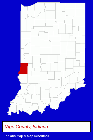
The Indiana counties map at upper right shows Vigo County, highlighted in red. Use the menu below to display interactive maps of Terre Haute, either in a frame on this page or in full-screen mode.
Use the menu below to display categorized Terre Haute directories.
| Terre Haute Products and Services Directory | ||
|---|---|---|
| Attorneys | Auto Service | Home Improvement |
| Metals | Printing and Publishing | Schools |
| Steel Fabrication | Visual Arts | |
Selected Terre Haute, Indiana Listings
These randomly selected Terre Haute listings provide some insight into the city's cultural environment and economic climate.- Arts Organizations & Information
- Building & Home Construction
- Builders & Contractors
- Metal Building Contractors
- Funeral Services
- Funeral Homes & Directors
- Cemeteries & Memorial Parks
- Cemeteries & Crematories
- Cremation Services
- Dentists
- Pediatrics Dentists
- Business Consultants & Advisors
- Advertising
- Advertising Agencies & Consultants
- Advertising & Design Agencies
- Photography
- Photographic Equipment & Supplies Retail
- Cameras & Camera Supplies
- Performing Arts Schools
- Music Instruction
- Music
- Vocal Music Instruction
- Child Development Centers
- Insurance
- Auto Insurance
- Cultural Attractions, Events & Facilities
- Tourist Information & Attractions
- Museums
Nearby Indiana Cities and Towns *
- Bloomington (17) - Bloomington, Indiana solutions directory and maps.
- Crawfordsville (1) - Crawfordsville, Indiana information and maps.
- Greencastle (2) - Greencastle, Indiana information and maps.
- Indianapolis (110) - Indianapolis, Indiana products & services directory.
- Lafayette (12) - Lafayette, Indiana demographics and directory.
- Martinsville (1) - Martinsville, Indiana information and maps.
- Vincennes (1) - Vincennes, Indiana information and maps.
* Parenthesized numbers indicate economic activity levels.
Copyright © 2011-2026 RegionalDirectory.us. All rights reserved.