Derby, Kansas Map and Directory
Regional Directory > States Menu > Kansas
 According to the United States Census Bureau, Derby is a City that is located in Sedgwick County, Kansas at 37.55 degrees North and 97.27 degrees West.
The city's time zone is America/Chicago, and the city's primary telephone area code is 316.
The land area of Derby is about 10.13 square miles, whereas the water area of the city is about 0.04 square miles.
Sedgwick County's land area is about 998 square miles, so the city occupies about 1.0 percent of the county's total land area.
According to the United States Census Bureau, Derby is a City that is located in Sedgwick County, Kansas at 37.55 degrees North and 97.27 degrees West.
The city's time zone is America/Chicago, and the city's primary telephone area code is 316.
The land area of Derby is about 10.13 square miles, whereas the water area of the city is about 0.04 square miles.
Sedgwick County's land area is about 998 square miles, so the city occupies about 1.0 percent of the county's total land area.
The Census Bureau estimates that Derby had about 24,943 residents in 2019, which is approximately 2,462 people per square mile of land area.
According to recent American Community Survey data, the median household income in Derby was about $73,322 per year.
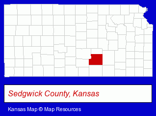
The Kansas counties map at upper right shows Sedgwick County, highlighted in red. Use the menu below to display interactive maps of Derby, either in a frame on this page or in full-screen mode.
Use the menu below to display categorized Derby directories.
| Derby Directory Page: | Auto Service |
|---|
Selected Derby, Kansas Listings
These Derby listings provide some insight into the city's cultural environment and economic climate.- Building Materials & Supplies Dealers
- Welding Equipment & Supplies Retail
- Tools Repair & Parts
- Chiropractors
- Acupuncture & Acupressure
- Acupuncture & Acupressure Specialists
- Recreation Centers
- Bowling Alleys
- Beauty Salons
- Hair Care & Treatment
- Barbers
- Beauty & Day Spas
- Beauticians
- Libraries
- Public Libraries
- Recreation Centers
- Pet Food & Supplies Retail
- Pet Shops
- Pet Sitting & Day Care
- Pet Training
- Dog Training
- Dentists
- Auto Body Repair & Painting
- Collision Services
- Schools
Nearby Kansas Cities and Towns *
- Andover (2) - Andover, Kansas information and maps.
- Emporia (5) - Emporia, Kansas demographics and maps.
- Hutchinson (9) - Hutchinson, Kansas demographics and directory.
- Newton (2) - Newton, Kansas information and maps.
- Salina (11) - Salina, Kansas demographics and directory.
- Wellington (1) - Wellington, Kansas information and maps.
- Wichita (109) - Wichita, Kansas products & services directory.
* Parenthesized numbers indicate economic activity levels.
Copyright © 2011-2026 RegionalDirectory.us. All rights reserved.