Jefferson City, Missouri Map and Directory
Regional Directory > States Menu > Missouri
 According to the United States Census Bureau, Jefferson City is a City that is located primarily in Cole County, Missouri at 38.57 degrees North and 92.18 degrees West.
The city's time zone is America/Chicago, and the city's primary telephone area code is 573.
The land area of Jefferson City is about 36.08 square miles, whereas the water area of the city is about 1.63 square miles.
According to the United States Census Bureau, Jefferson City is a City that is located primarily in Cole County, Missouri at 38.57 degrees North and 92.18 degrees West.
The city's time zone is America/Chicago, and the city's primary telephone area code is 573.
The land area of Jefferson City is about 36.08 square miles, whereas the water area of the city is about 1.63 square miles.
The Census Bureau estimates that Jefferson City had about 42,708 residents in 2019, which is approximately 1,184 people per square mile of land area.
According to recent American Community Survey data, the median household income in Jefferson City was about $52,253 per year. This Jefferson City Real Estate directory lists real estate solution providers in Jefferson City, Missouri.
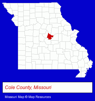
The Missouri counties map at upper right shows Cole County, highlighted in red. Use the menu below to display interactive maps of Jefferson City, either in a frame on this page or in full-screen mode.
Use the menu below to display categorized Jefferson City directories.
| Jefferson City Products and Services Directory | ||
|---|---|---|
| Accountants | Attorneys | Building Materials |
| Clinics | Dentists | Financial Services |
| Home Improvement | Information Technology | Insurance |
| Physicians | Radio Stations | Restaurants |
Selected Jefferson City, Missouri Listings
These randomly selected Jefferson City listings in 65109 provide a window into the city's cultural environment and economic climate. Accudata Credit Systems LLC- Credit Reporting Agencies & Consultants
- Home Improvement Stores
- Floors & Flooring Wholesale & Manufacturers
- Airline Tickets
- Airlines
- Consumer Electronics Stores
- Marine Equipment & Supplies Retail
- Video Equipment, Parts & Supplies Retail
- Radio Sales & Service
- Televisions Retail
- Builders & Contractors
- Building Contractors
- Charitable & Nonprofit Organizations
- Business & Professional Associations & Organizations
- Community & Civic Organizations
- Educational Charitable & Nonprofit Organizations
- Charitable & Nonprofit Organizations
- Cemeteries & Memorial Parks
- Coffee & Tea Shops
- Travel Agents
- Travel Industry
- Cruise Lines & Agents
- Cruises Travel Agents
- Veterinarians
- Small Animal Veterinarians
- Surgery Veterinarians
- Preventive Medicine Veterinarians
- Dentistry Veterinarians
- Heating & Air Conditioning Contractors
- Air Conditioning Contractors
- Heating & Ventilating Contractors
- Air Conditioning Service & Repair
Nearby Missouri Cities and Towns *
- Camdenton (1) - Camdenton, Missouri information and maps.
- Columbia (28) - Columbia, Missouri solutions directory and maps.
- Fulton (1) - Fulton, Missouri information and maps.
- Hermann (1) - Hermann, Missouri information and maps.
- Osage Beach (7) - Osage Beach, Missouri demographics and maps.
- Rolla (3) - Rolla, Missouri information and maps.
- Sedalia (2) - Sedalia, Missouri information and maps.
* Parenthesized numbers indicate economic activity levels.
Copyright © 2011-2026 RegionalDirectory.us. All rights reserved.