Columbia, Missouri Map and Directory
Regional Directory > States Menu > Missouri
 According to the United States Census Bureau, Columbia is a City that is located in Boone County, Missouri at 38.95 degrees North and 92.33 degrees West.
The city's time zone is America/Chicago, and the city's primary telephone area code is 573.
The land area of Columbia is about 64.58 square miles, whereas the water area of the city is about 0.27 square miles.
Boone County's land area is about 685 square miles, so the city occupies about 9.4 percent of the county's total land area.
According to the United States Census Bureau, Columbia is a City that is located in Boone County, Missouri at 38.95 degrees North and 92.33 degrees West.
The city's time zone is America/Chicago, and the city's primary telephone area code is 573.
The land area of Columbia is about 64.58 square miles, whereas the water area of the city is about 0.27 square miles.
Boone County's land area is about 685 square miles, so the city occupies about 9.4 percent of the county's total land area.
The Census Bureau estimates that Columbia had about 123,195 residents in 2019, which is approximately 1,908 people per square mile of land area.
According to recent American Community Survey data, the median household income in Columbia was about $51,276 per year. This Columbia Real Estate directory lists real estate solution providers in Columbia, Missouri.
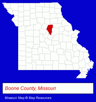
The Missouri counties map at upper right shows Boone County, highlighted in red. Use the menu below to display interactive maps of Columbia, either in a frame on this page or in full-screen mode.
Use the menu below to display categorized Columbia directories.
Selected Columbia, Missouri Listings
These randomly selected Columbia listings provide some insight into the city's cultural environment and economic climate.- Social Security Attorneys
- Lawyers - Social Security & Government Law
- Government Contractors
- Roofing Contractors
- Gutters & Downspouts Dealers
- Auto Body Repair & Painting
- Financing
- Electric Contractors
- Business Insurance
- Mental Health
- Vocational Education
- Mental Health Practitioners
- Colleges & Universities
- Heating Contractors
- Air Conditioning Contractors
- Heating & Ventilating Contractors
- Plumbing & Heating Contractors
- Sewer & Drain Cleaning Contractors
- Licensed Plumbing Contractors
- Sports & Recreation Facilities
- Health Clubs & Gyms
- Recreation Centers
- Hobbies
- Embroidery & Needlework
- Professional & Trade Associations
- Embroidery Service
- Auto Parts Wholesale & Manufacturers
Nearby Missouri Cities and Towns *
- Camdenton (1) - Camdenton, Missouri information and maps.
- Fulton (1) - Fulton, Missouri information and maps.
- Hermann (1) - Hermann, Missouri information and maps.
- Jefferson City (18) - Jefferson City, Missouri solutions directory and maps.
- Osage Beach (7) - Osage Beach, Missouri demographics and maps.
- Sedalia (2) - Sedalia, Missouri information and maps.
* Parenthesized numbers indicate economic activity levels.
Copyright © 2011-2026 RegionalDirectory.us. All rights reserved.